Parc Nationale d'Aiguestortes/Sant Maurici
Editorial Alpina produce an extensive range of walking maps covering key hiking areas of Spain.
The maps are contoured at 10 and 20 m intervals and feature hill shading and summit heights. All maps also feature long distance footpaths and hiking trails, campsites and camping huts.
The maps are contoured at 10 and 20 m intervals and feature hill shading and summit heights. All maps also feature long distance footpaths and hiking trails, campsites and camping huts.
- Legend in English
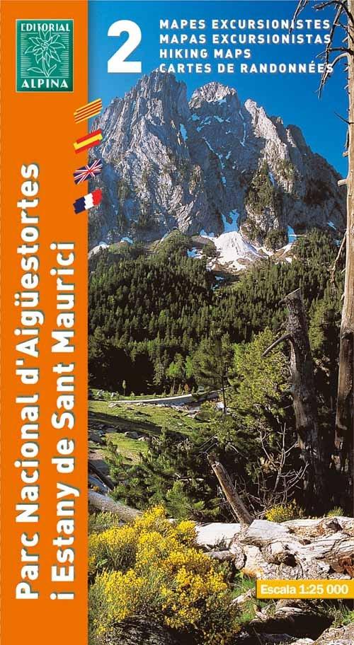
- Scale 1/25,000
- Coverage: 2 sheets show Eastern/Western sides of the Aiguestortes I Estany De Sant Maurici national Park, lake Colomers
- ISBN 9788480903998
- GPS compatible
- 2 Map set (this pack does not include guide booklet)
$12.50
Parc Nationale d'Aiguestortes/Sant Maurici—
$12.50
Parc Nationale d'Aiguestortes/Sant Maurici
Editorial Alpina produce an extensive range of walking maps covering key hiking areas of Spain.
The maps are contoured at 10 and 20 m intervals and feature hill shading and summit heights. All maps also feature long distance footpaths and hiking trails, campsites and camping huts.
The maps are contoured at 10 and 20 m intervals and feature hill shading and summit heights. All maps also feature long distance footpaths and hiking trails, campsites and camping huts.
- Legend in English
- Scale 1/25,000
- Coverage: 2 sheets show Eastern/Western sides of the Aiguestortes I Estany De Sant Maurici national Park, lake Colomers
- ISBN 9788480903998
- GPS compatible
- 2 Map set (this pack does not include guide booklet)
Product Information
Product Information
Shipping & Returns
Shipping & Returns
Description
Editorial Alpina produce an extensive range of walking maps covering key hiking areas of Spain.
The maps are contoured at 10 and 20 m intervals and feature hill shading and summit heights. All maps also feature long distance footpaths and hiking trails, campsites and camping huts.
The maps are contoured at 10 and 20 m intervals and feature hill shading and summit heights. All maps also feature long distance footpaths and hiking trails, campsites and camping huts.
- Legend in English
- Scale 1/25,000
- Coverage: 2 sheets show Eastern/Western sides of the Aiguestortes I Estany De Sant Maurici national Park, lake Colomers
- ISBN 9788480903998
- GPS compatible
- 2 Map set (this pack does not include guide booklet)