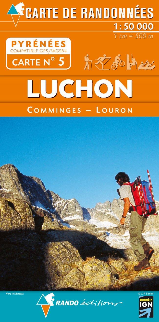
Pyrenees Map 05, Luchon
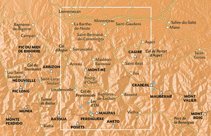
The Randonees Pyrenees number 1-11 are relief shaded maps based on the IGN topographic survey at 1:50k scale, with contours at every 20m and major routes marked - including the GR10 and HRP.
Mountain huts, refuges and campsites are shown, as are points of interest and outdoor leisure centres.
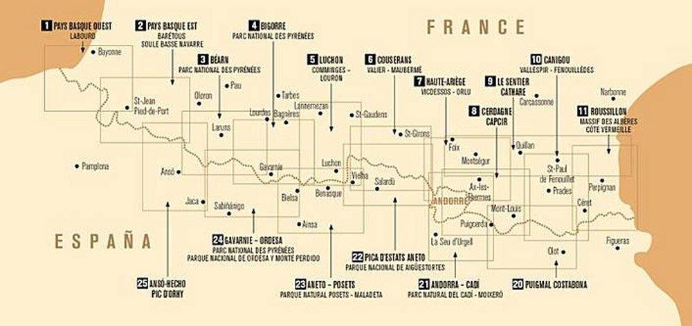
The region covered is shown in the images above.
Mountain huts, refuges and campsites are shown, as are points of interest and outdoor leisure centres.
The region covered is shown in the images above.
$3.30
Original: $11.00
-70%Pyrenees Map 05, Luchon—
$11.00
$3.30More Images
Pyrenees Map 05, Luchon
The Randonees Pyrenees number 1-11 are relief shaded maps based on the IGN topographic survey at 1:50k scale, with contours at every 20m and major routes marked - including the GR10 and HRP.
Mountain huts, refuges and campsites are shown, as are points of interest and outdoor leisure centres.
The region covered is shown in the images above.
Mountain huts, refuges and campsites are shown, as are points of interest and outdoor leisure centres.
The region covered is shown in the images above.
Product Information
Product Information
Shipping & Returns
Shipping & Returns
Description
The Randonees Pyrenees number 1-11 are relief shaded maps based on the IGN topographic survey at 1:50k scale, with contours at every 20m and major routes marked - including the GR10 and HRP.
Mountain huts, refuges and campsites are shown, as are points of interest and outdoor leisure centres.
The region covered is shown in the images above.
Mountain huts, refuges and campsites are shown, as are points of interest and outdoor leisure centres.
The region covered is shown in the images above.