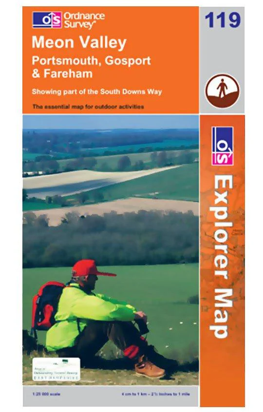
Explorer 119 Meon Valley (Portsmouth, Gosport & Fareham) Map With Digital Version
-
Showing part of the South Downs Way
- 1:25 000 (4 cm to 1 km, 2½ inches to 1 mile)
- Folded map, double-sided, 1000 x 890 mm
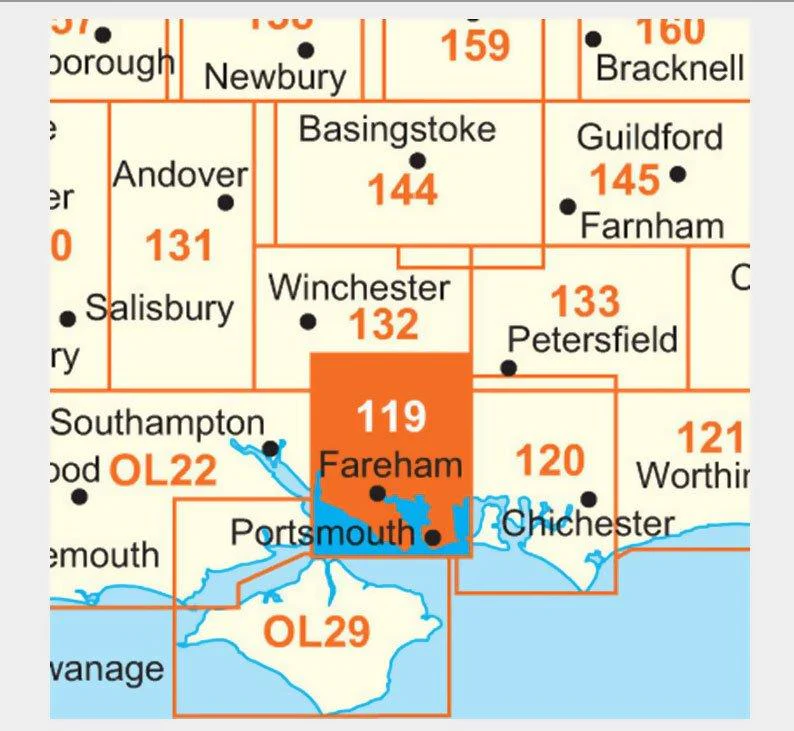
Every part of England, Scotland and Wales - however remote - is covered by 403 maps specially designed for walkers, off-road cyclists, horse riders and all involved in outdoor activities.
$3.90
Original: $13.00
-70%Explorer 119 Meon Valley (Portsmouth, Gosport & Fareham) Map With Digital Version—
$13.00
$3.90More Images
Explorer 119 Meon Valley (Portsmouth, Gosport & Fareham) Map With Digital Version
-
Showing part of the South Downs Way
- 1:25 000 (4 cm to 1 km, 2½ inches to 1 mile)
- Folded map, double-sided, 1000 x 890 mm
Every part of England, Scotland and Wales - however remote - is covered by 403 maps specially designed for walkers, off-road cyclists, horse riders and all involved in outdoor activities.
Product Information
Product Information
Shipping & Returns
Shipping & Returns
Description
-
Showing part of the South Downs Way
- 1:25 000 (4 cm to 1 km, 2½ inches to 1 mile)
- Folded map, double-sided, 1000 x 890 mm
Every part of England, Scotland and Wales - however remote - is covered by 403 maps specially designed for walkers, off-road cyclists, horse riders and all involved in outdoor activities.