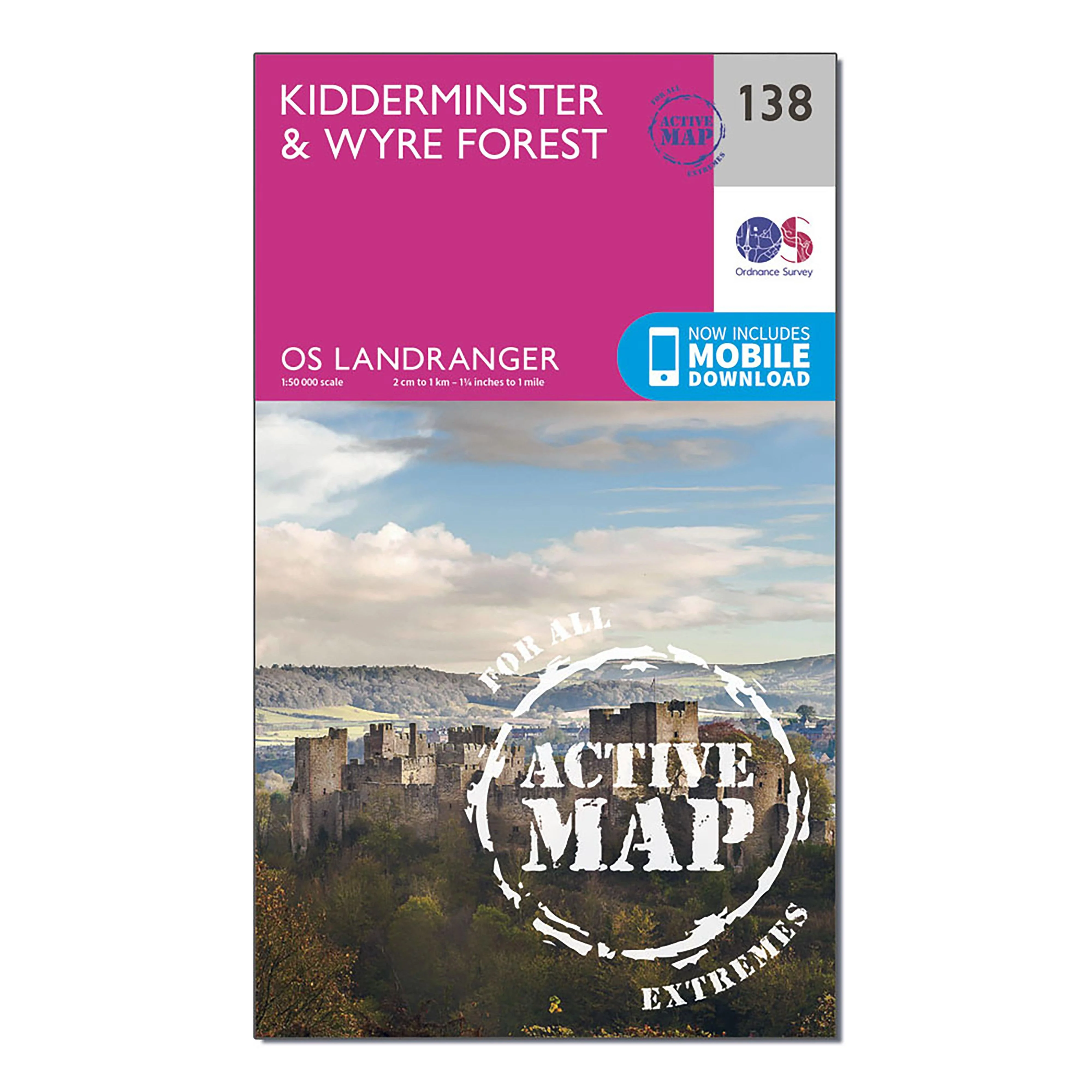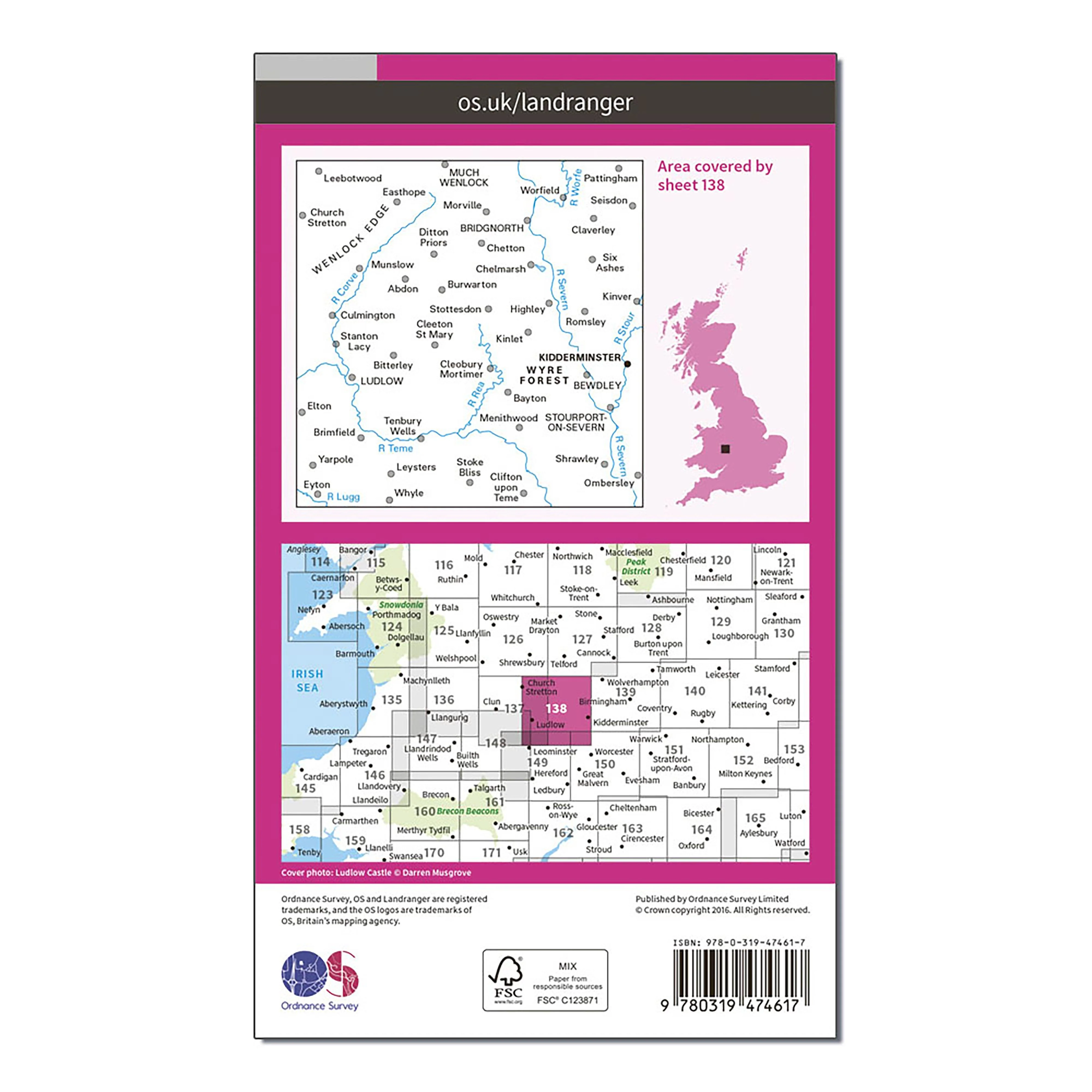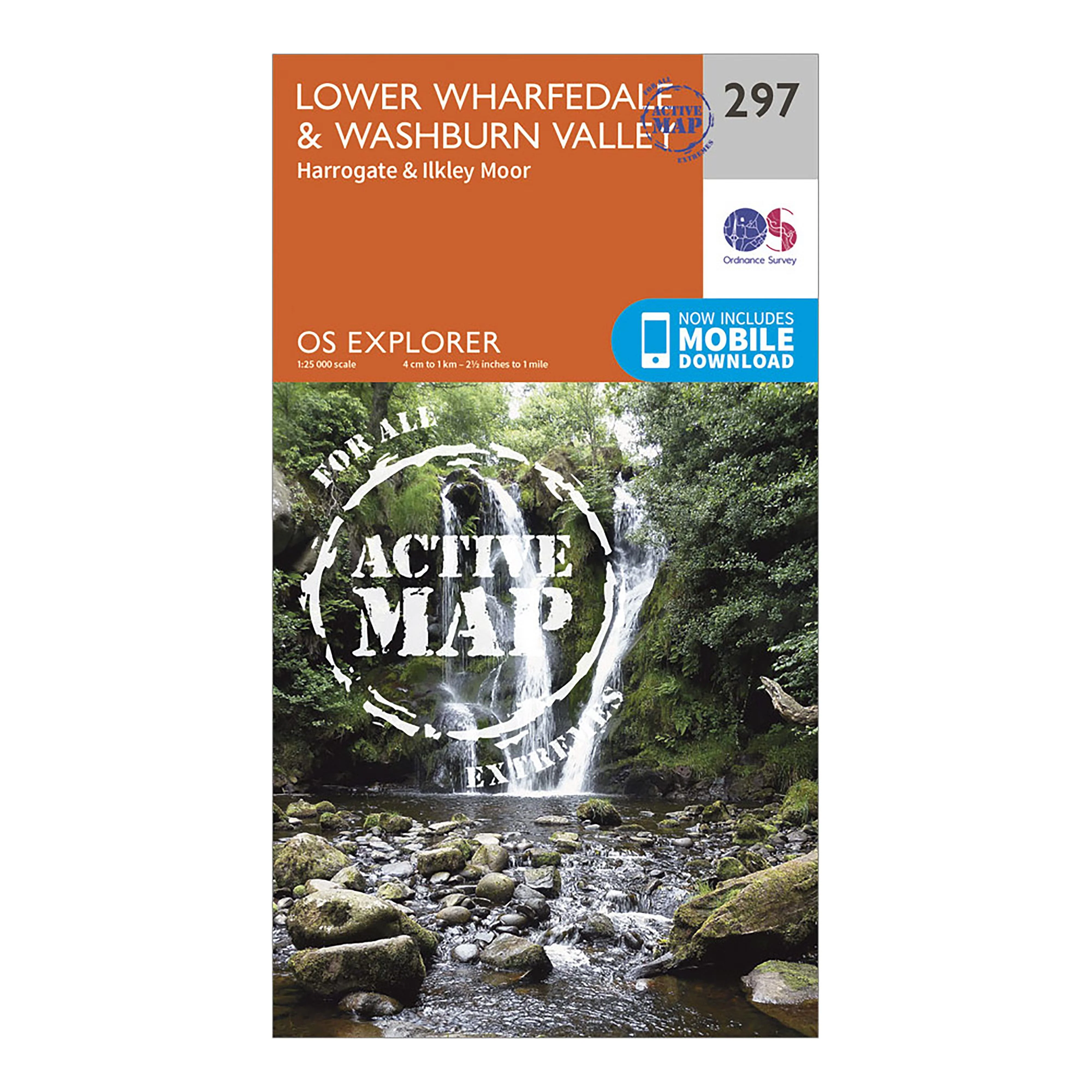
Explorer 297 Lower Wharfedale & Washburn Valley Map
Providing complete GB coverage, the OS Explorer map series details information essential in the great outdoors, including youth hostels, pubs and visitor information. Rights of way, fences, permissive paths and bridleways are clearly shown, ensuring you have the best information to get the most out of your time in the countryside.
Customers can now discover the landscape in all weathers thanks to the OS Explorer Active Map; a tough, versatile and wipe-clean version of the OS Explorer map.
Features
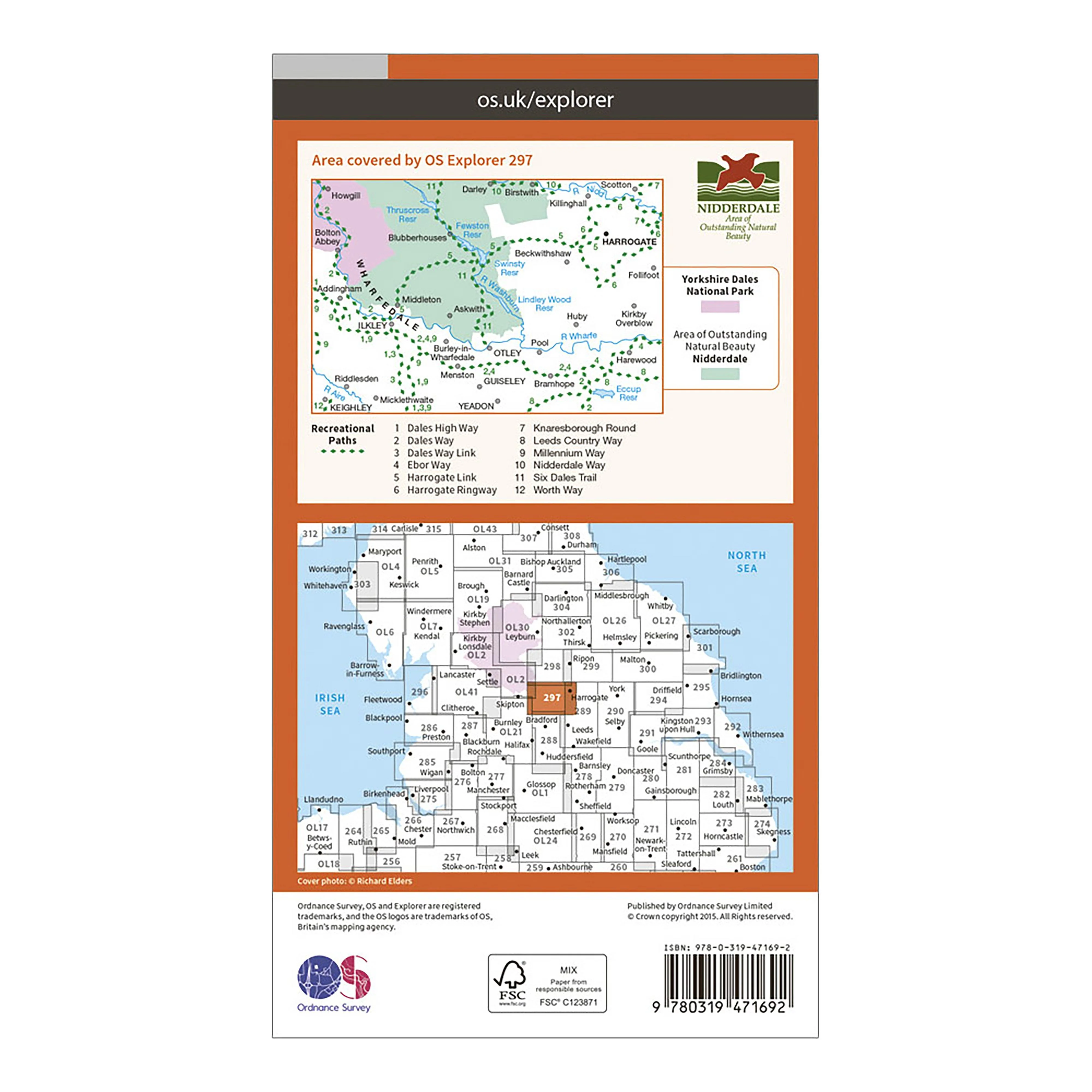
- Dales Way
- Dales Way (Guide Book)
- Dales Way Link
- Ebor Way
- Leeds Country Way
- Nidderdale Way
- Worth Way (West Yorkshire)
- Harrogate Ringway
- Knaresborough
- Round Millennium Way
- North Yorkshire
- West Yorkshire
- Bingley
- Harrogate
- Keighley
- 1:25 000 scale (4 cm to 1 km / 2.5 inches to 1 mile)
This map comes with a digital version which you can download to your smartphone or tablet.
Go to OS.uk/redeem for more details (terms and conditions apply).
Scratch off the panel on the inside cover of the map to reveal a code, you are then just three easy steps away from downloading your digital map.
If the scratch panel has already been scratched off or if you have any problems downloading your map, please call the OS Customer Service Centre on 03456 050505.
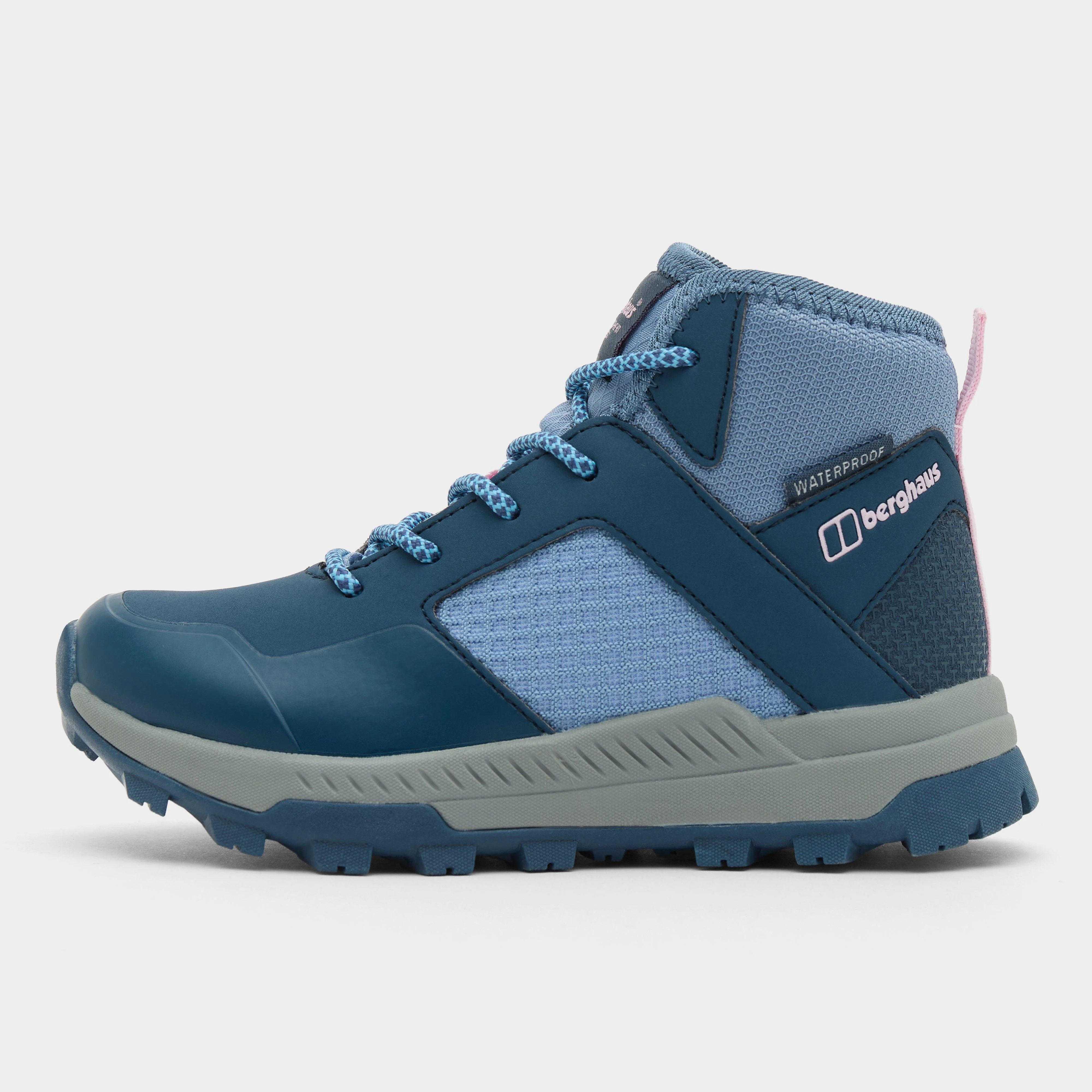
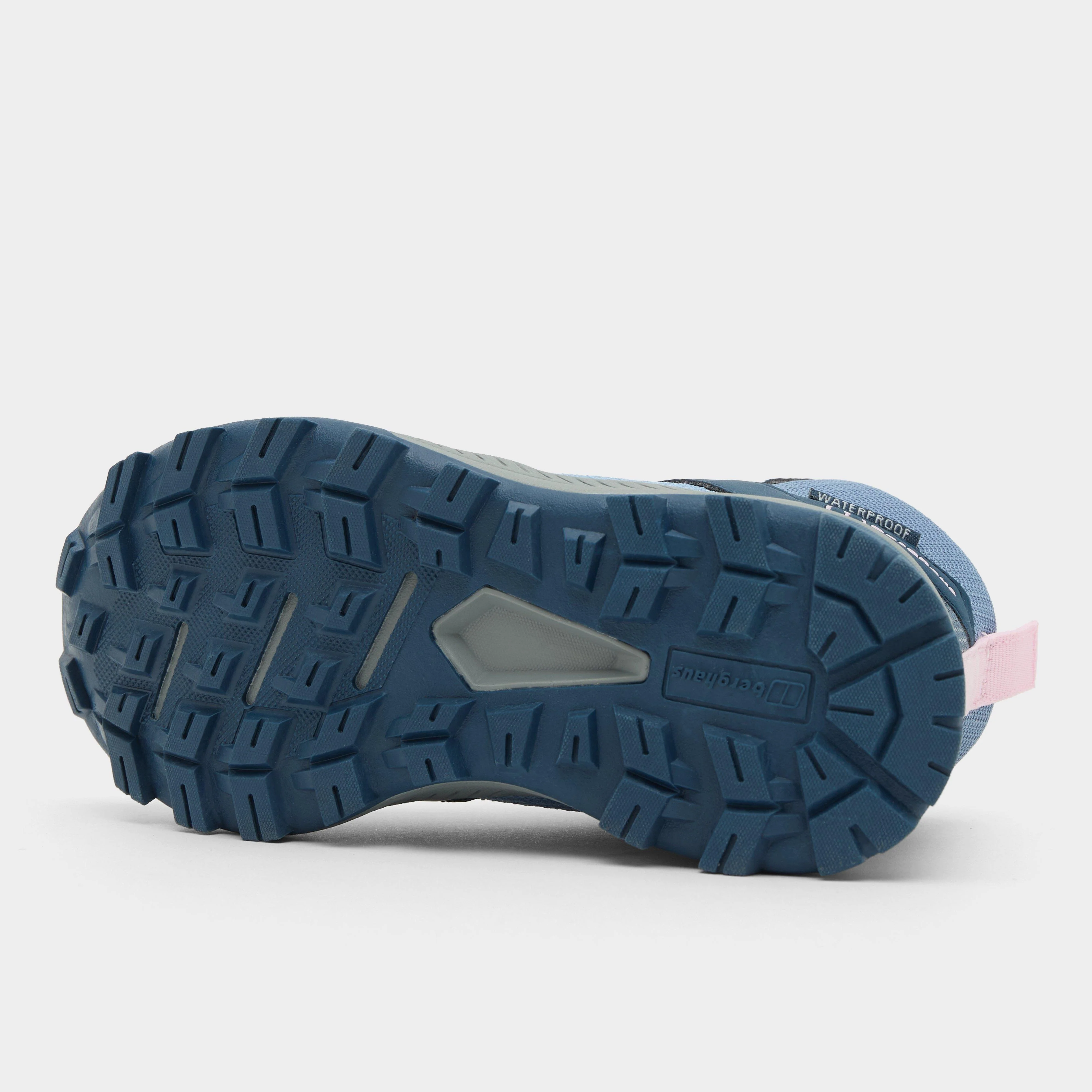
More Images
Explorer 297 Lower Wharfedale & Washburn Valley Map
Providing complete GB coverage, the OS Explorer map series details information essential in the great outdoors, including youth hostels, pubs and visitor information. Rights of way, fences, permissive paths and bridleways are clearly shown, ensuring you have the best information to get the most out of your time in the countryside.
Customers can now discover the landscape in all weathers thanks to the OS Explorer Active Map; a tough, versatile and wipe-clean version of the OS Explorer map.
Features
- Dales Way
- Dales Way (Guide Book)
- Dales Way Link
- Ebor Way
- Leeds Country Way
- Nidderdale Way
- Worth Way (West Yorkshire)
- Harrogate Ringway
- Knaresborough
- Round Millennium Way
- North Yorkshire
- West Yorkshire
- Bingley
- Harrogate
- Keighley
- 1:25 000 scale (4 cm to 1 km / 2.5 inches to 1 mile)
This map comes with a digital version which you can download to your smartphone or tablet.
Go to OS.uk/redeem for more details (terms and conditions apply).
Scratch off the panel on the inside cover of the map to reveal a code, you are then just three easy steps away from downloading your digital map.
If the scratch panel has already been scratched off or if you have any problems downloading your map, please call the OS Customer Service Centre on 03456 050505.
Product Information
Product Information
Shipping & Returns
Shipping & Returns
Description
Providing complete GB coverage, the OS Explorer map series details information essential in the great outdoors, including youth hostels, pubs and visitor information. Rights of way, fences, permissive paths and bridleways are clearly shown, ensuring you have the best information to get the most out of your time in the countryside.
Customers can now discover the landscape in all weathers thanks to the OS Explorer Active Map; a tough, versatile and wipe-clean version of the OS Explorer map.
Features
- Dales Way
- Dales Way (Guide Book)
- Dales Way Link
- Ebor Way
- Leeds Country Way
- Nidderdale Way
- Worth Way (West Yorkshire)
- Harrogate Ringway
- Knaresborough
- Round Millennium Way
- North Yorkshire
- West Yorkshire
- Bingley
- Harrogate
- Keighley
- 1:25 000 scale (4 cm to 1 km / 2.5 inches to 1 mile)
This map comes with a digital version which you can download to your smartphone or tablet.
Go to OS.uk/redeem for more details (terms and conditions apply).
Scratch off the panel on the inside cover of the map to reveal a code, you are then just three easy steps away from downloading your digital map.
If the scratch panel has already been scratched off or if you have any problems downloading your map, please call the OS Customer Service Centre on 03456 050505.