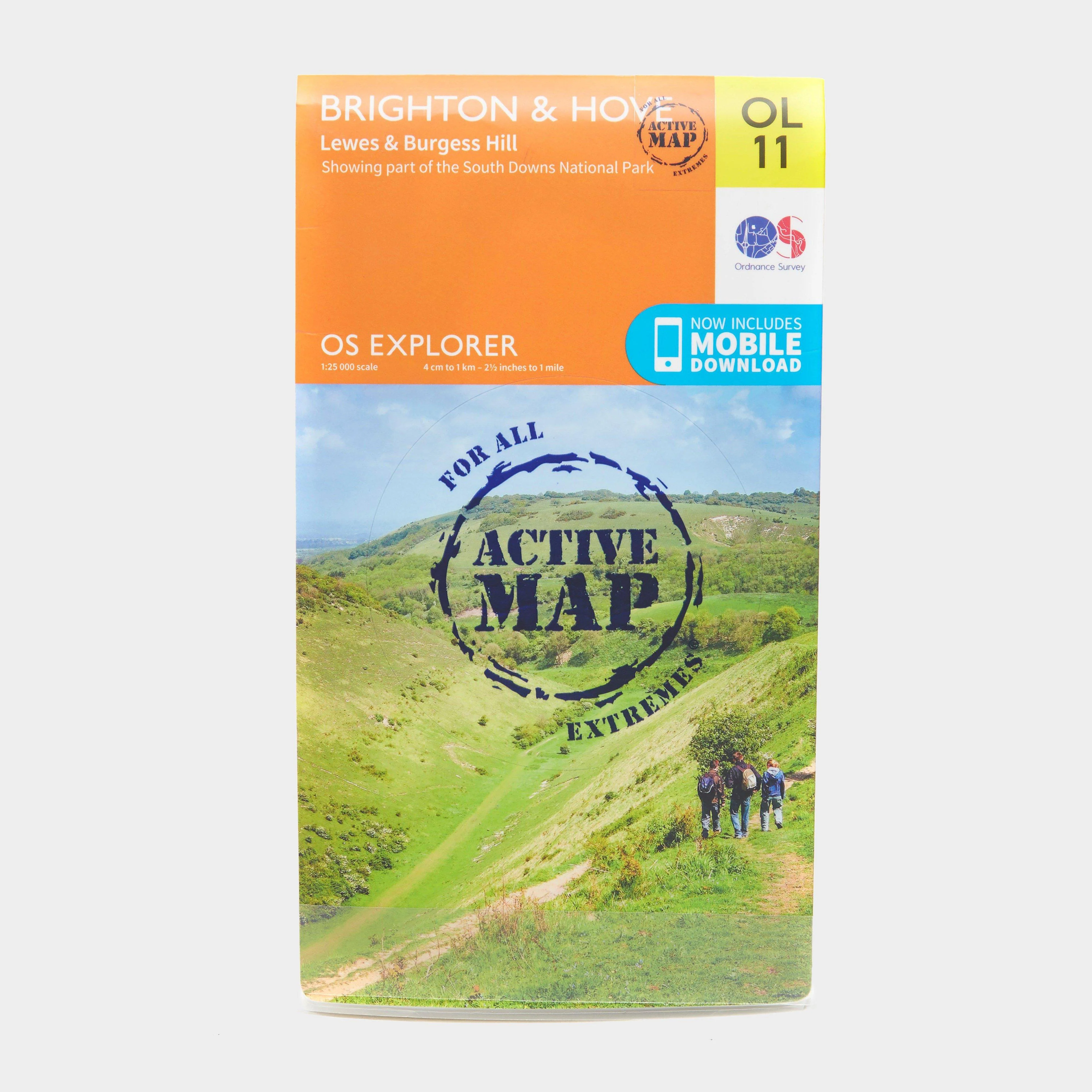
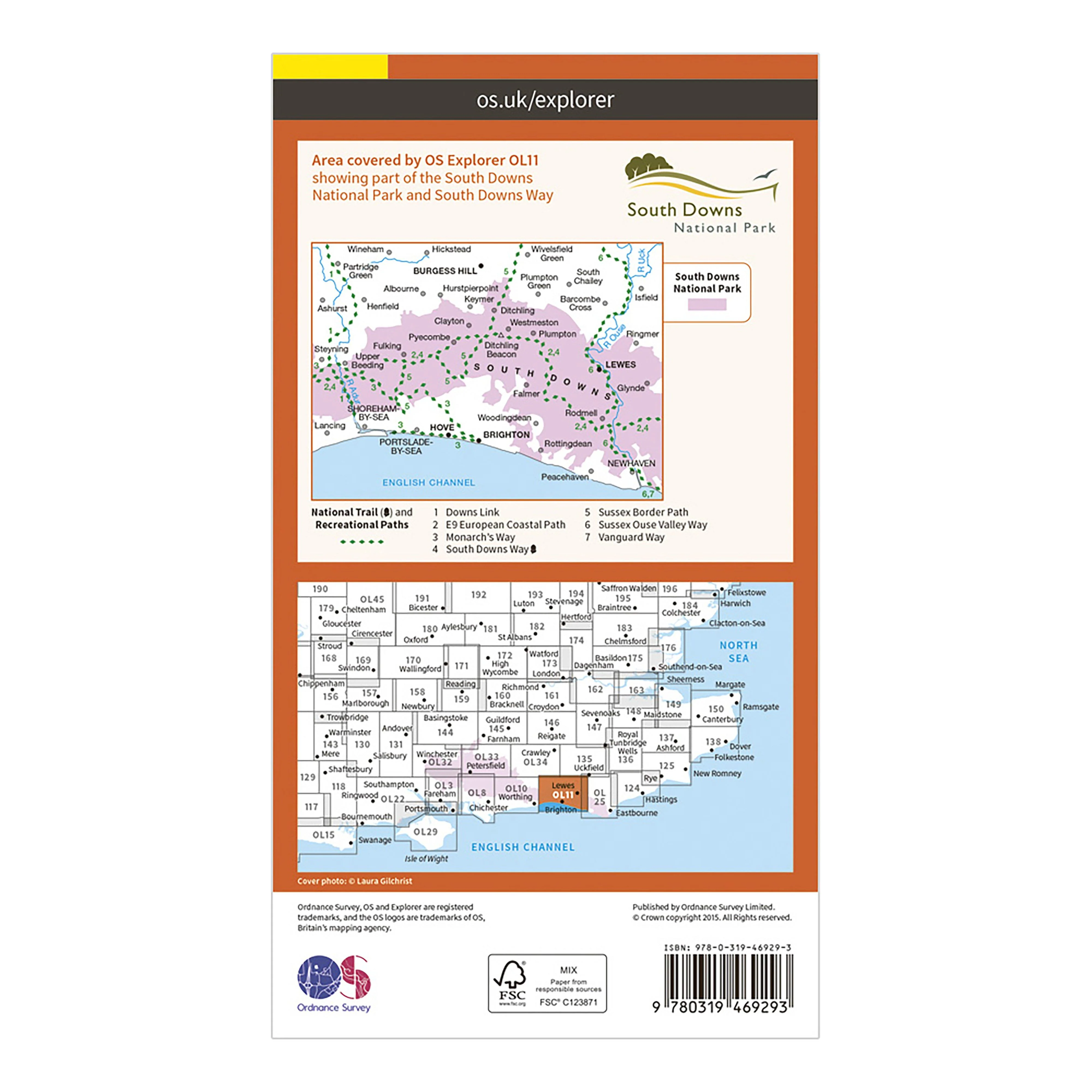
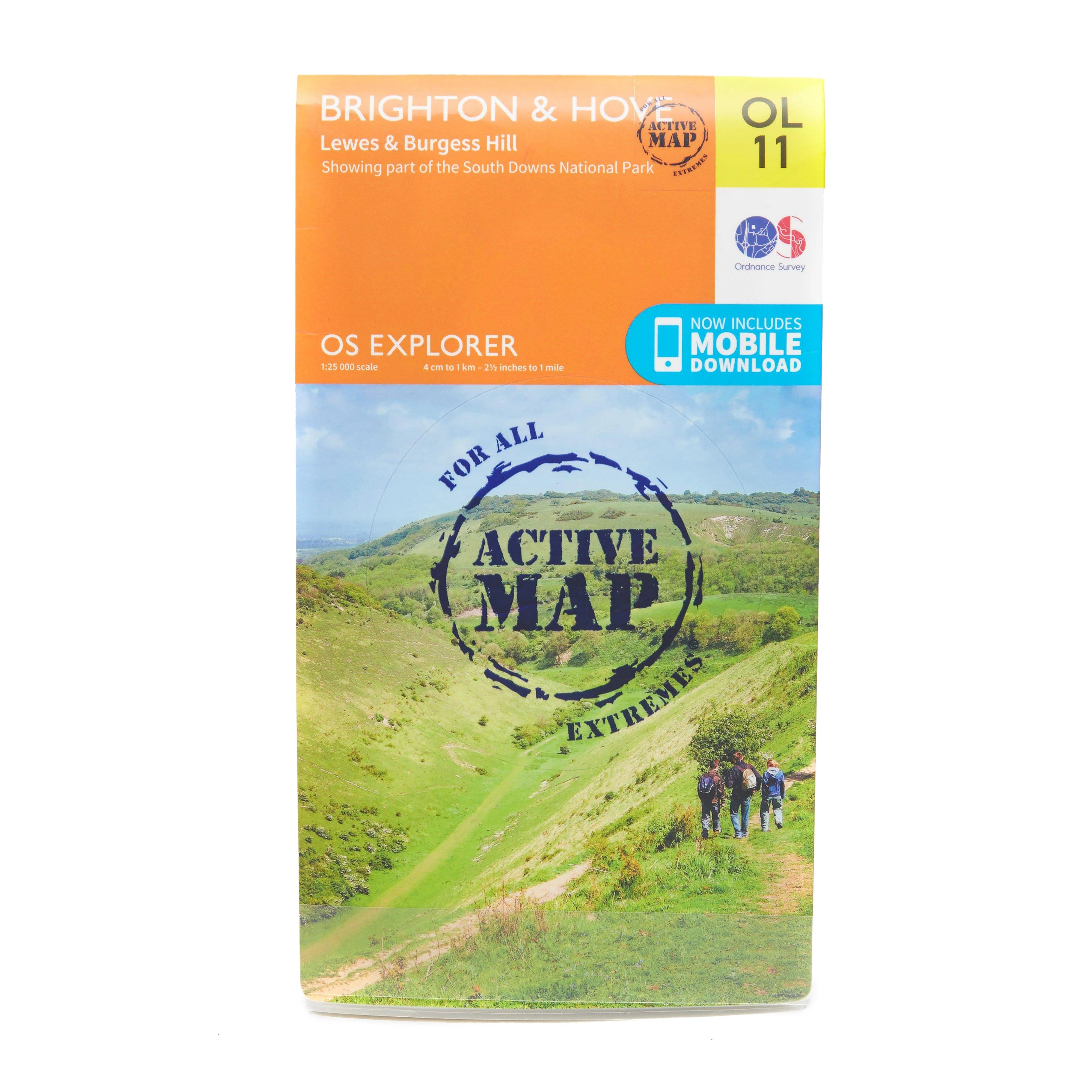
Explorer Active OL 11 Brighton & Hove Map
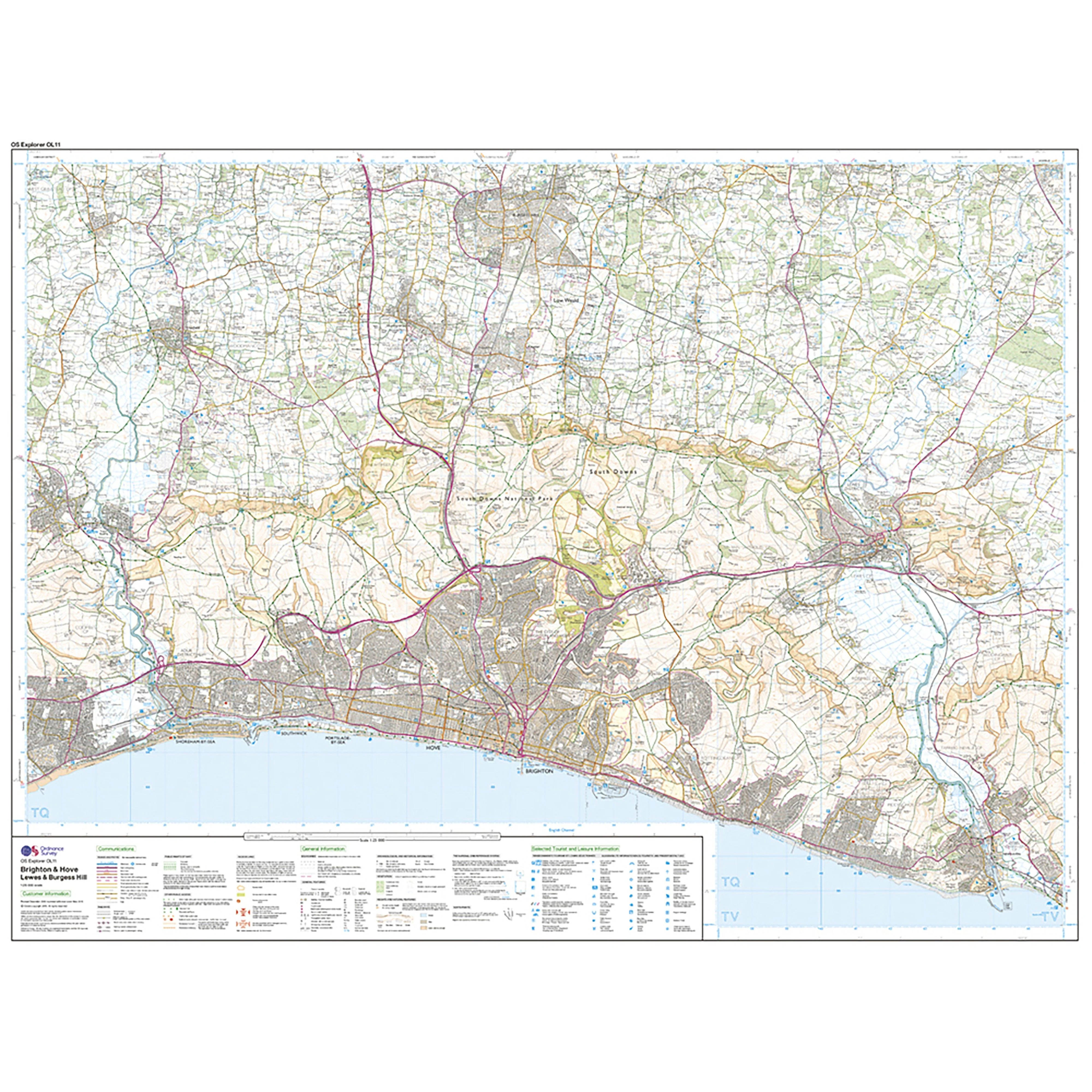
Features
- South Downs
- South Downs Way
- Sussex Border Path
- Vanguard Way
- Downs Link
- Monarch's Way (Book 3)
- South Downs Way (National Trail)
- East Sussex
- West Sussex
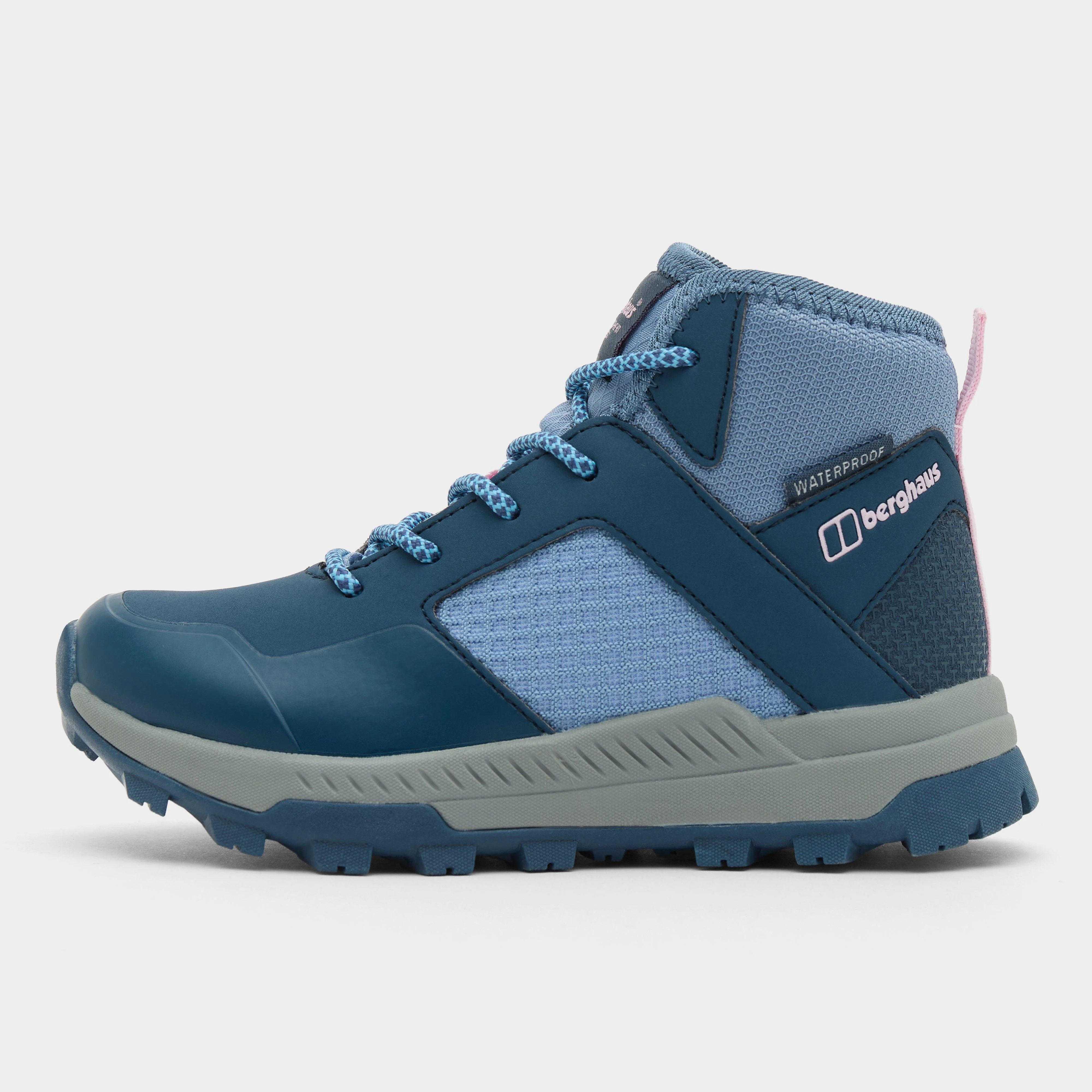
- Brighton and Hove
- Lewes
- Newhaven
- Shoreham-by-Sea
- 1:25 000 scale (4 cm to 1 km ƒ?? 2.5 inches to 1 mile)
- This map comes with a digital version which you can download to your smartphone or tablet.
$17.00
Explorer Active OL 11 Brighton & Hove Map—
$17.00
More Images
Explorer Active OL 11 Brighton & Hove Map
Features
- South Downs
- South Downs Way
- Sussex Border Path
- Vanguard Way
- Downs Link
- Monarch's Way (Book 3)
- South Downs Way (National Trail)
- East Sussex
- West Sussex
- Brighton and Hove
- Lewes
- Newhaven
- Shoreham-by-Sea
- 1:25 000 scale (4 cm to 1 km ƒ?? 2.5 inches to 1 mile)
- This map comes with a digital version which you can download to your smartphone or tablet.
Product Information
Product Information
Shipping & Returns
Shipping & Returns
Description
Features
- South Downs
- South Downs Way
- Sussex Border Path
- Vanguard Way
- Downs Link
- Monarch's Way (Book 3)
- South Downs Way (National Trail)
- East Sussex
- West Sussex
- Brighton and Hove
- Lewes
- Newhaven
- Shoreham-by-Sea
- 1:25 000 scale (4 cm to 1 km ƒ?? 2.5 inches to 1 mile)
- This map comes with a digital version which you can download to your smartphone or tablet.