Explorer OL 36 South Pembrokeshire Map
Features
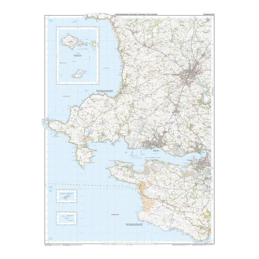
- Detailed and informative explorer map of South Pembrokeshire from Ordnance Survey
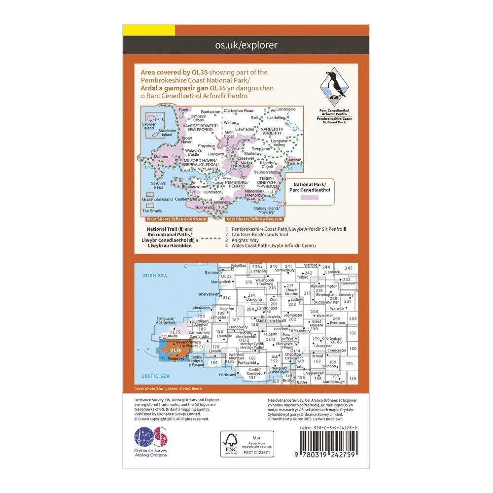
- Covers The Pembrokeshire Coast National Path, Knights’ Way, Tenby, Milford Haven, Pembroke and Haverfordwest
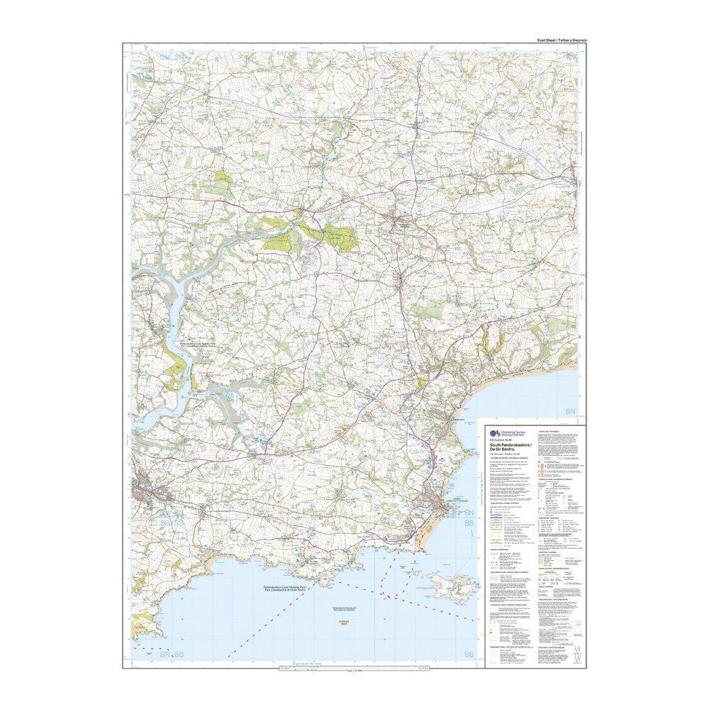
- Scale: 1:25000
- Now includes Mobile Download
- Recommended activity - walking / hiking / cycling / navigation / expedition
$13.00
Explorer OL 36 South Pembrokeshire Map—
$13.00
More Images

Explorer OL 36 South Pembrokeshire Map
Features
- Detailed and informative explorer map of South Pembrokeshire from Ordnance Survey
- Covers The Pembrokeshire Coast National Path, Knights’ Way, Tenby, Milford Haven, Pembroke and Haverfordwest
- Scale: 1:25000
- Now includes Mobile Download
- Recommended activity - walking / hiking / cycling / navigation / expedition
Product Information
Product Information
Shipping & Returns
Shipping & Returns
Description
Features
- Detailed and informative explorer map of South Pembrokeshire from Ordnance Survey
- Covers The Pembrokeshire Coast National Path, Knights’ Way, Tenby, Milford Haven, Pembroke and Haverfordwest
- Scale: 1:25000
- Now includes Mobile Download
- Recommended activity - walking / hiking / cycling / navigation / expedition