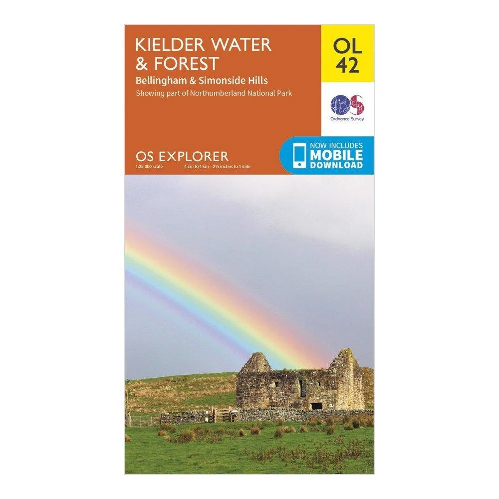
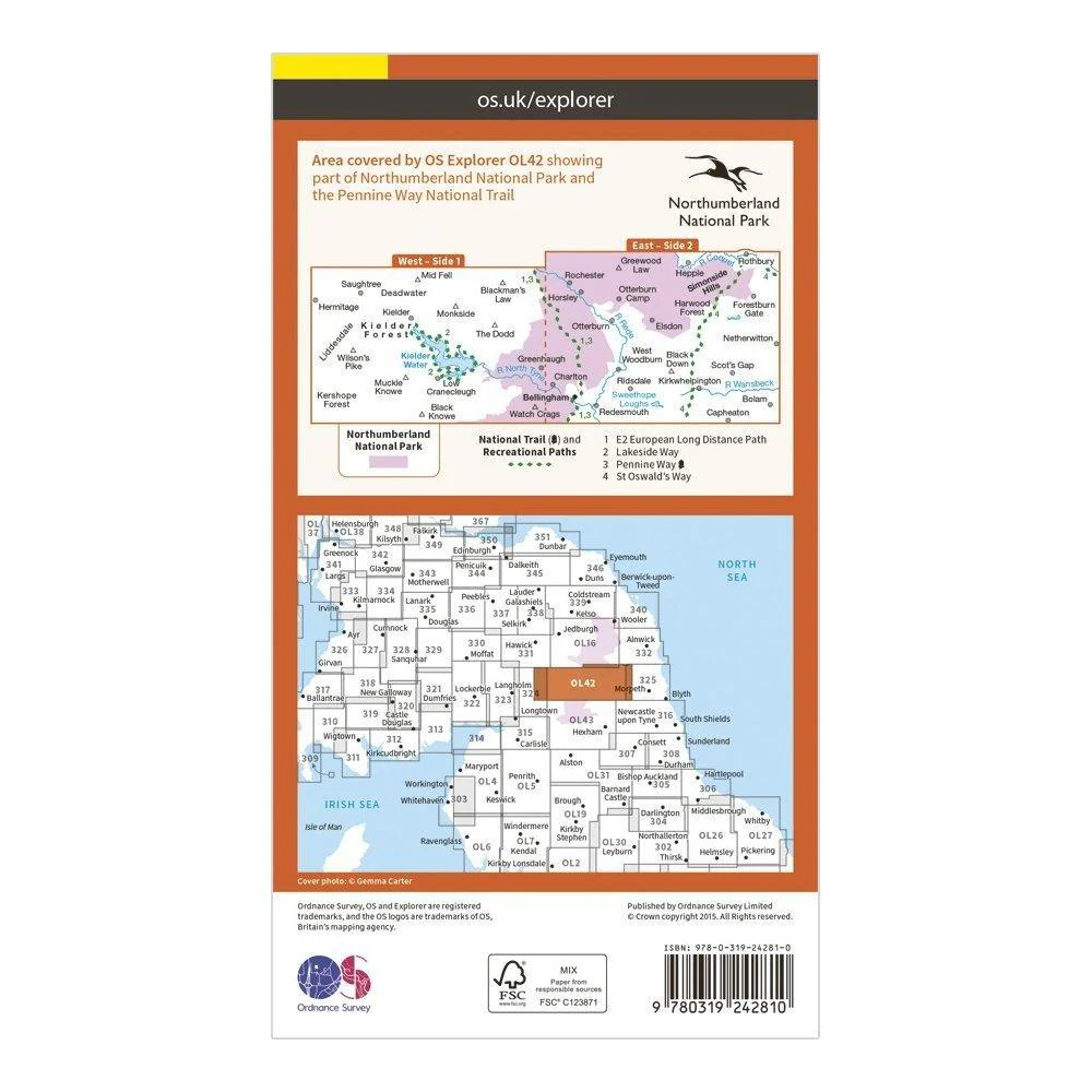
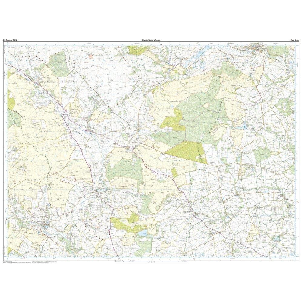
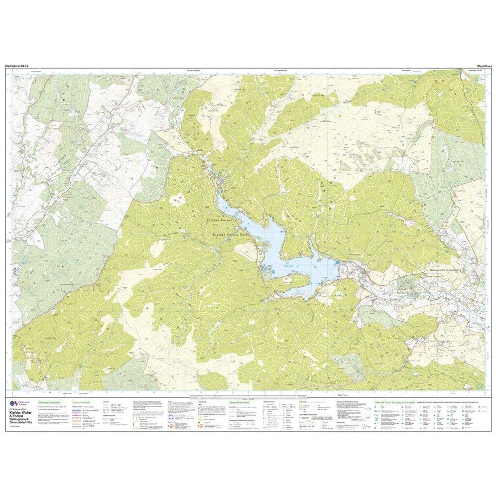
Explorer OL 42 Kielder Water & Forest Map
Features
- Pennine Way (National Trail)
- E2 (European Long Distance Route)
- Borders
- Northumberland
- 1:25 000 scale (4 cm to 1 km – 2.5 inches to 1 mile)
- This map comes with a digital version which you can download to your smartphone or tablet.
$13.00
Explorer OL 42 Kielder Water & Forest Map—
$13.00
More Images
Explorer OL 42 Kielder Water & Forest Map
Features
- Pennine Way (National Trail)
- E2 (European Long Distance Route)
- Borders
- Northumberland
- 1:25 000 scale (4 cm to 1 km – 2.5 inches to 1 mile)
- This map comes with a digital version which you can download to your smartphone or tablet.
Product Information
Product Information
Shipping & Returns
Shipping & Returns
Description
Features
- Pennine Way (National Trail)
- E2 (European Long Distance Route)
- Borders
- Northumberland
- 1:25 000 scale (4 cm to 1 km – 2.5 inches to 1 mile)
- This map comes with a digital version which you can download to your smartphone or tablet.