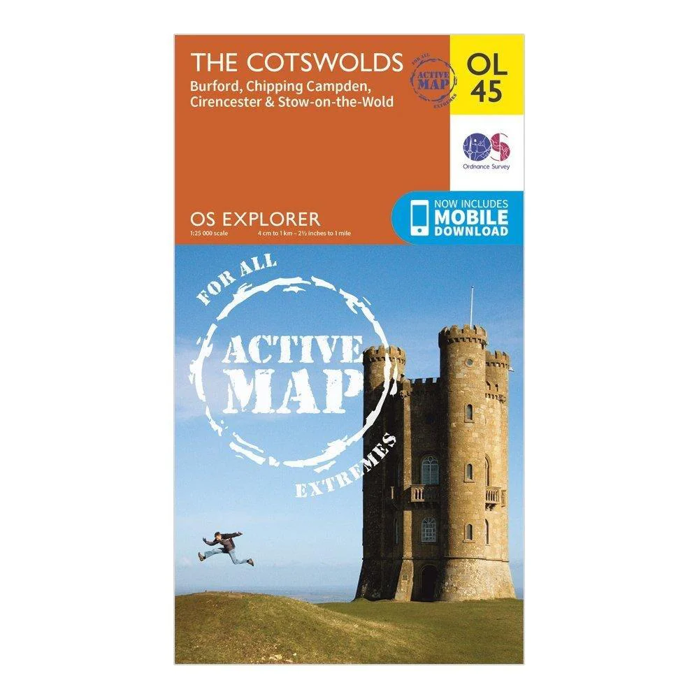
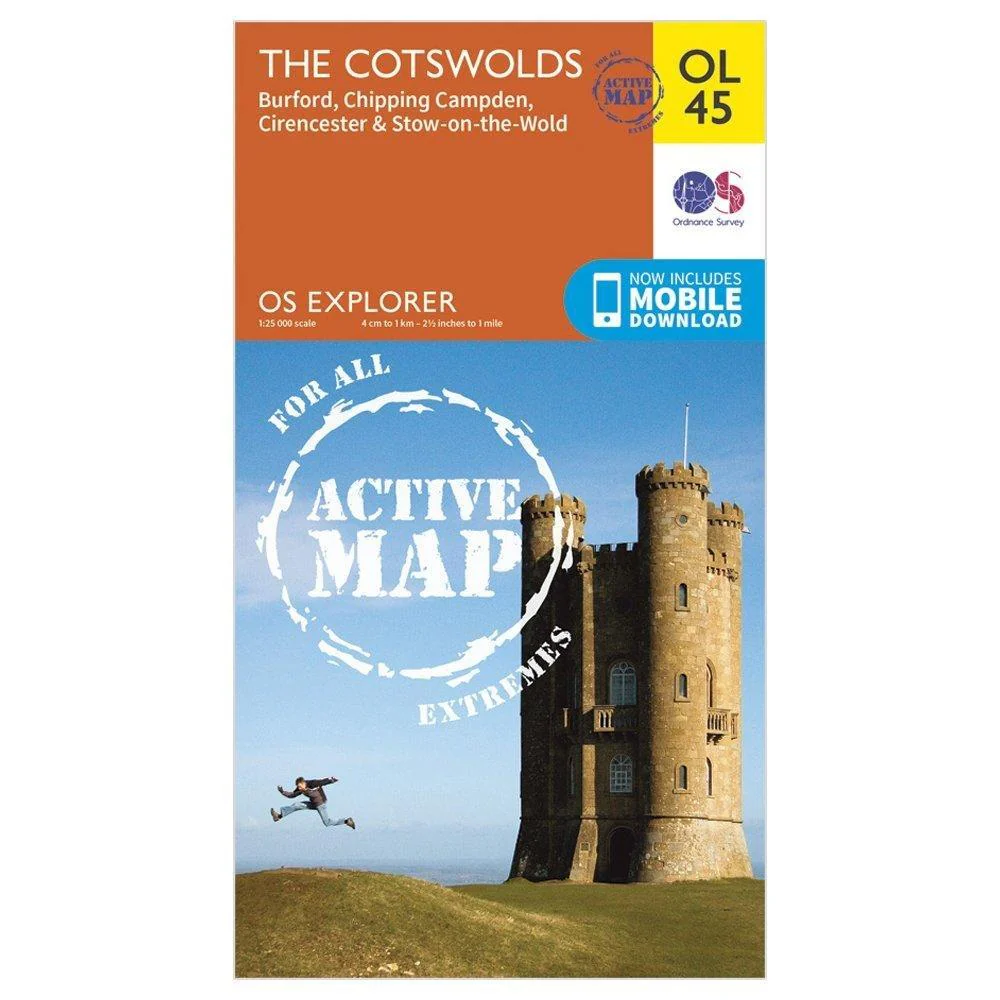
Explorer OL 45 Active D The Cotswolds Map
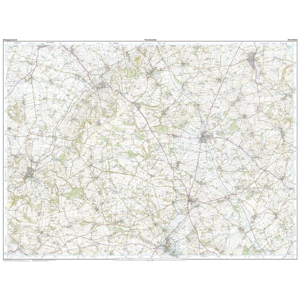
Features
- Detailed and easy to read map from Ordnance Survey
- Scale: 1:25,000
- Covers the Cotswold Hills, Wychwood Community Forest, the Cotswold Way, Stow-on-the-Wold, Burford, Cirencester and Chipping Campden
- Includes mobile download of map for use on your smartphone
- Shows tourist information points, popular sites, viewpoints, places of information and rights of way information
- Recommended activity - navigation
$5.10
Original: $17.00
-70%Explorer OL 45 Active D The Cotswolds Map—
$17.00
$5.10More Images
Explorer OL 45 Active D The Cotswolds Map
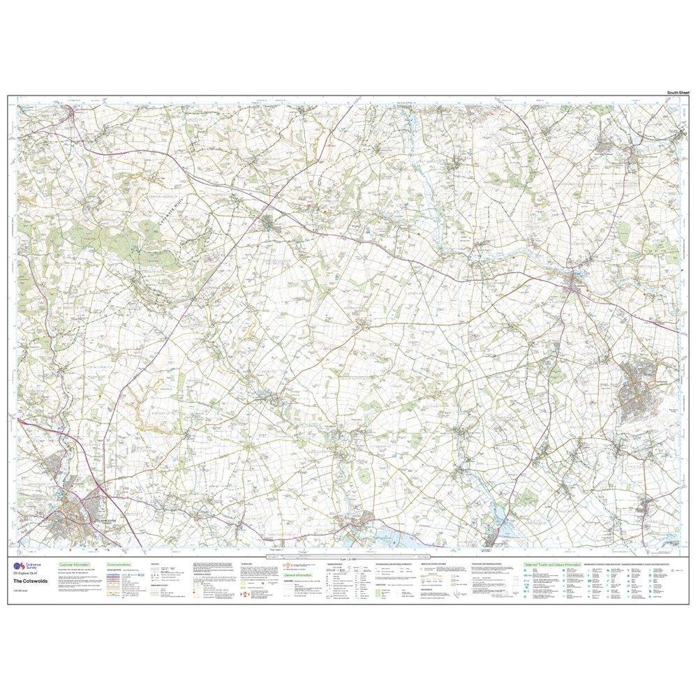
Features
- Detailed and easy to read map from Ordnance Survey
- Scale: 1:25,000
- Covers the Cotswold Hills, Wychwood Community Forest, the Cotswold Way, Stow-on-the-Wold, Burford, Cirencester and Chipping Campden
- Includes mobile download of map for use on your smartphone
- Shows tourist information points, popular sites, viewpoints, places of information and rights of way information
- Recommended activity - navigation
Product Information
Product Information
Shipping & Returns
Shipping & Returns
Description
Features
- Detailed and easy to read map from Ordnance Survey
- Scale: 1:25,000
- Covers the Cotswold Hills, Wychwood Community Forest, the Cotswold Way, Stow-on-the-Wold, Burford, Cirencester and Chipping Campden
- Includes mobile download of map for use on your smartphone
- Shows tourist information points, popular sites, viewpoints, places of information and rights of way information
- Recommended activity - navigation