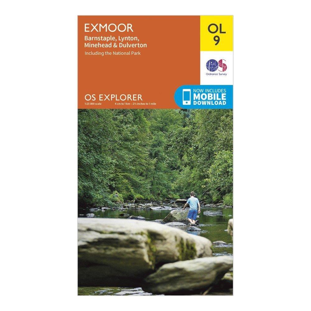
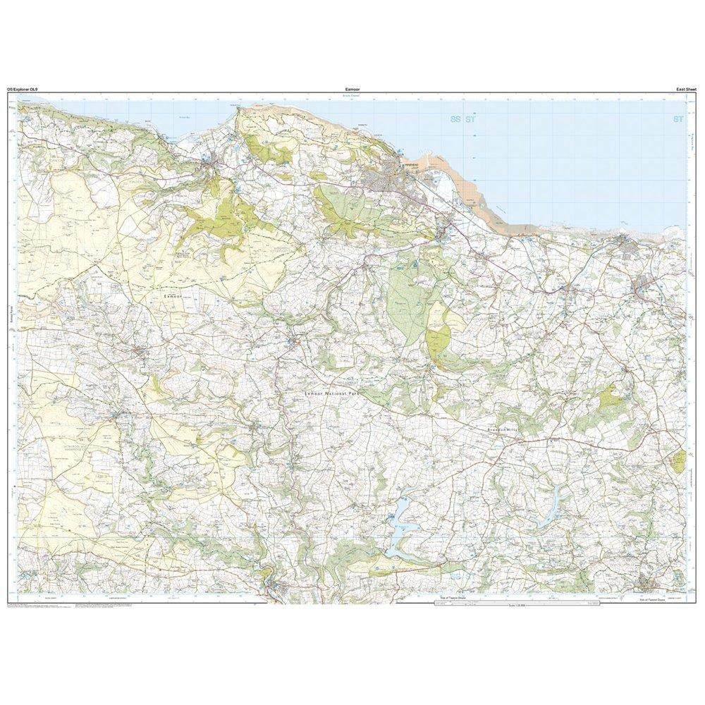
Explorer OL 9 Exmoor Map
Features
- Detailed and informative explorer map of Exmoor from Ordnance Survey
- Covers Banstaple, Lynton, Minehead, Dulverton and the National Park
- Scale: 1:25000
- Now includes Mobile Download
- Recommended activity - walking / hiking / cycling / navigation / expedition
$3.90
Original: $13.00
-70%Explorer OL 9 Exmoor Map—
$13.00
$3.90More Images
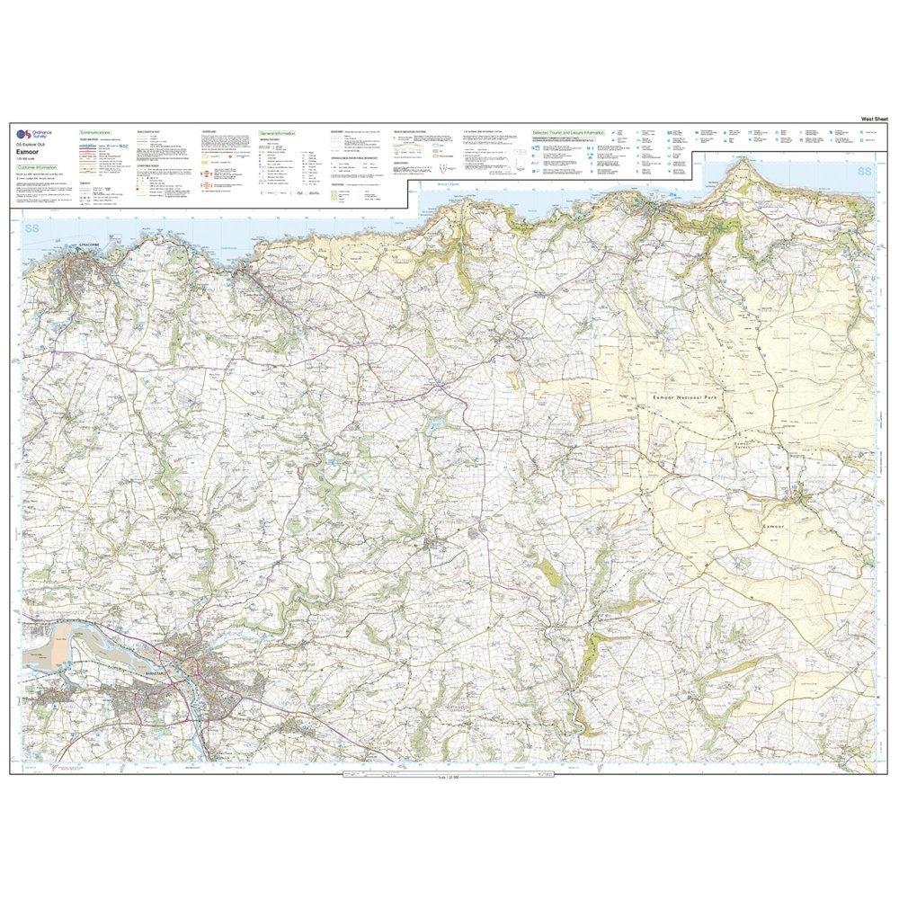
Explorer OL 9 Exmoor Map
Features
- Detailed and informative explorer map of Exmoor from Ordnance Survey
- Covers Banstaple, Lynton, Minehead, Dulverton and the National Park
- Scale: 1:25000
- Now includes Mobile Download
- Recommended activity - walking / hiking / cycling / navigation / expedition
Product Information
Product Information
Shipping & Returns
Shipping & Returns
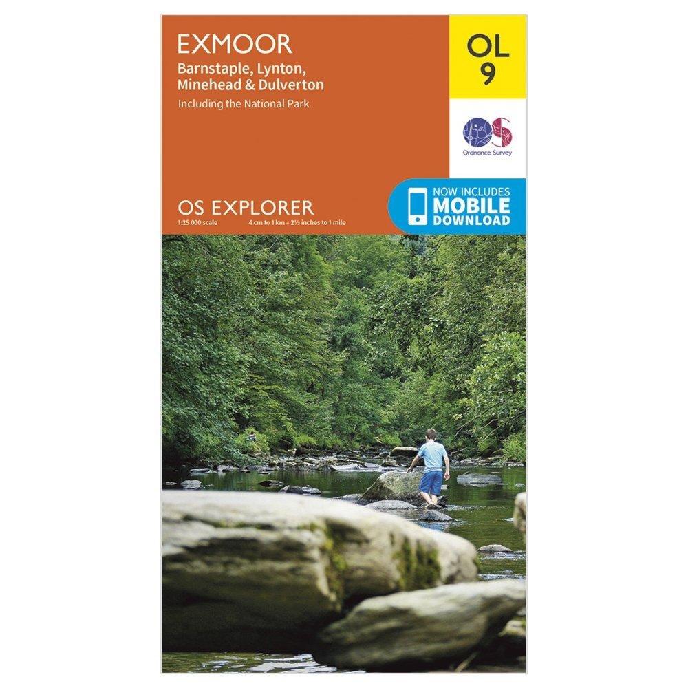
Description
Features
- Detailed and informative explorer map of Exmoor from Ordnance Survey
- Covers Banstaple, Lynton, Minehead, Dulverton and the National Park
- Scale: 1:25000
- Now includes Mobile Download
- Recommended activity - walking / hiking / cycling / navigation / expedition