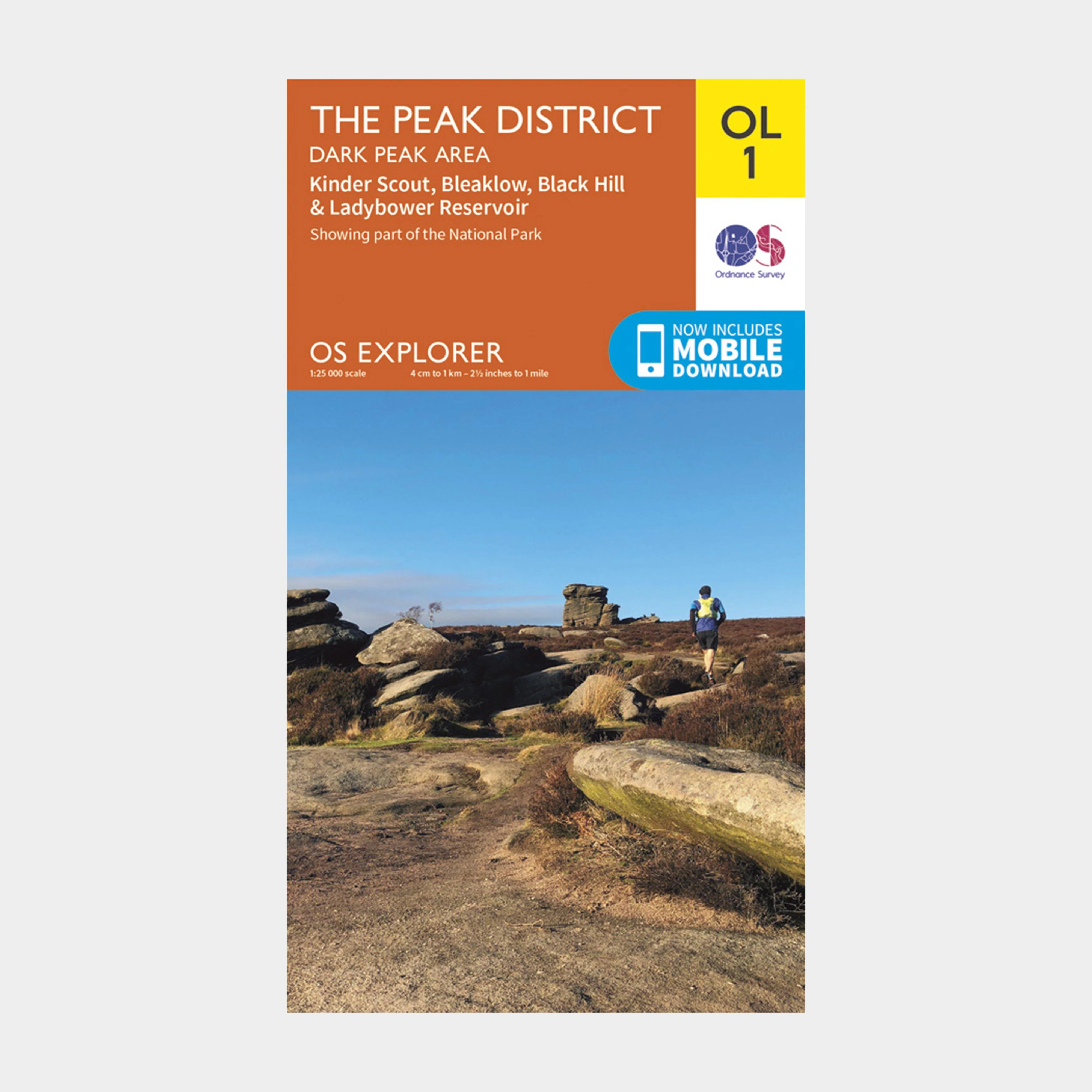
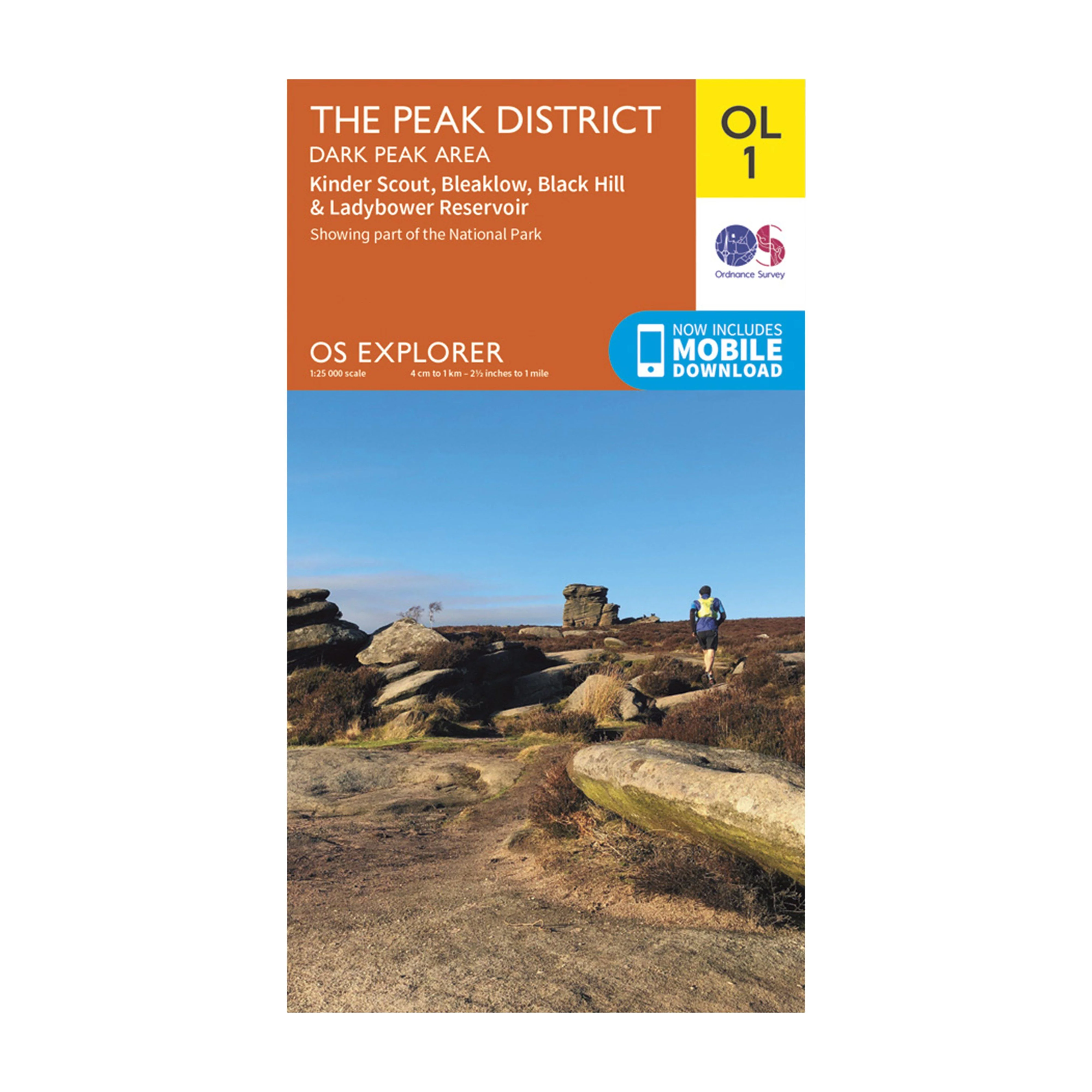
Explorer OL1 The Peak District – Dark Peak Area With Digital Version
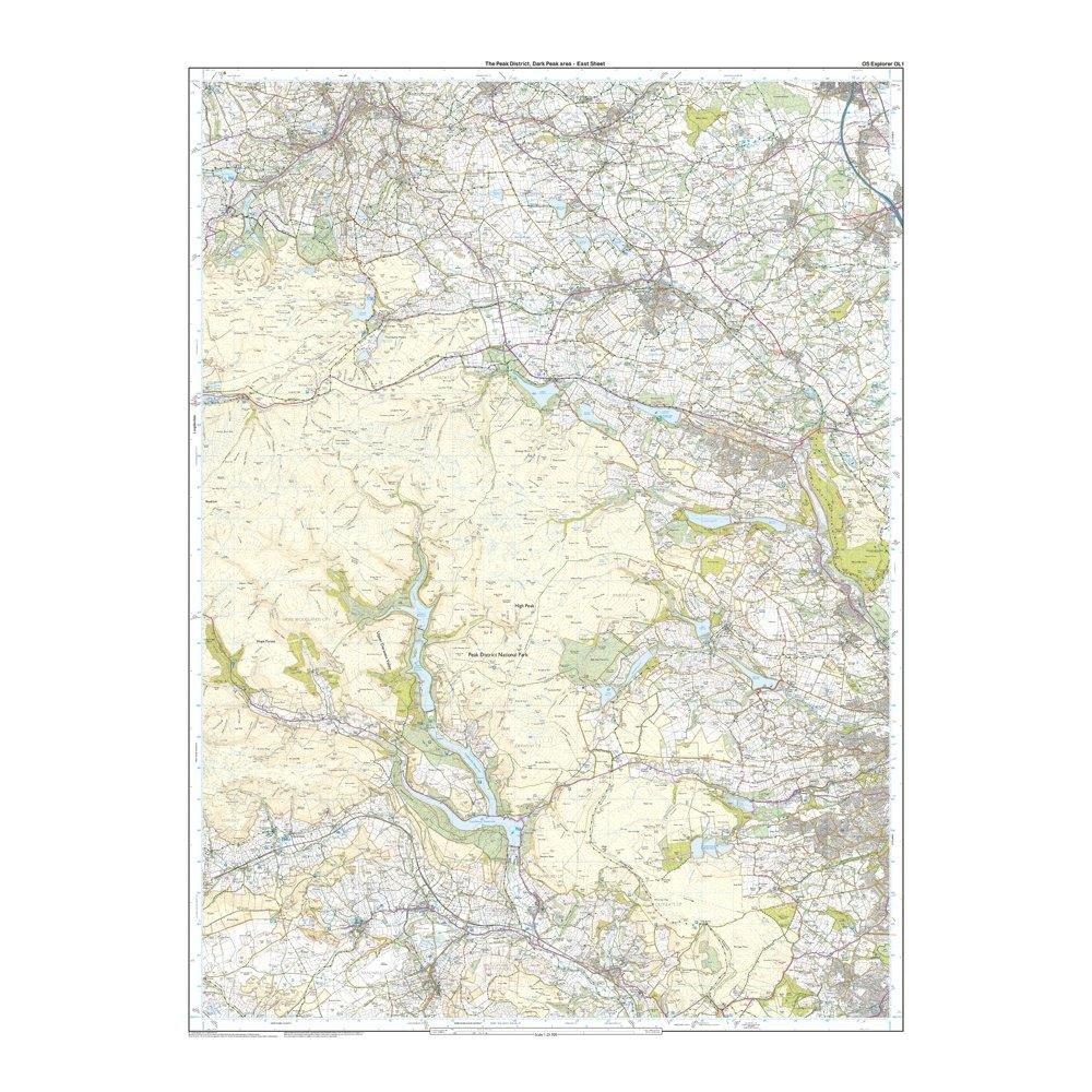
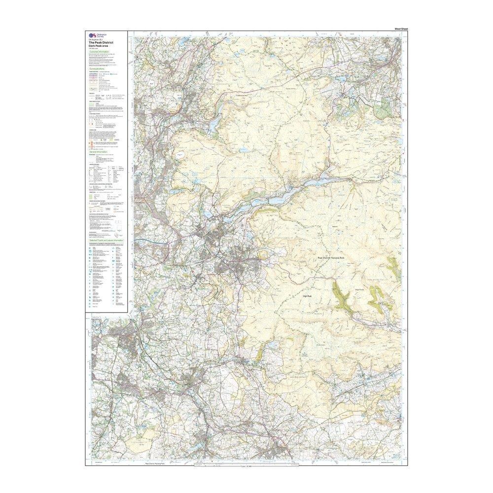
Providing complete GB coverage, the OS Explorer map series details information essential in the great outdoors, including youth hostels, pubs and visitor information. Rights of way, fences, permissive paths and bridleways are clearly shown, ensuring you have the best information to get the most out of your time in the countryside.
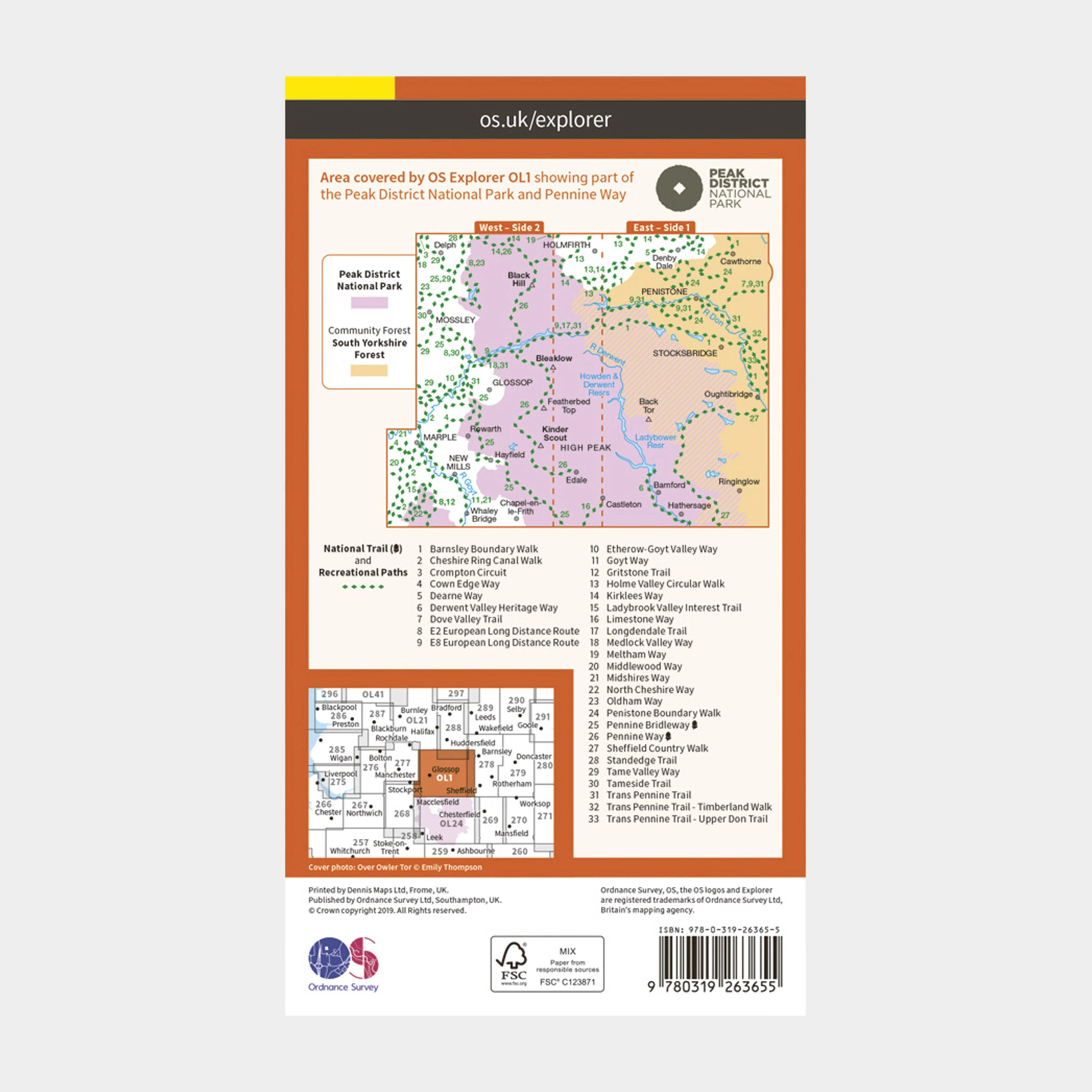
Features
- Pennine Way
- Pennine Bridleway
- Gritstone Trail
- Limestone Way
- Middlewood Way
- Cheshire Ring Canal Walk
- Kirklees Way
- Dearne Way
- Holme Valley Circular Walk
- Oldham Way
- Goyt Way
- Longdendale Trail
- Cown Edge Way
- Medlock Valley Way
- Standedge Trail
- Crompton Circuit
- Hills and Hamlets Walk
- Midshires Way
- Dove Valley Trail
- Barnsley Boundary Walk
- Tameside Trail
- Etherow-Goyt Valley way
- Penistone Boundary Walk
- Trans Pennine Trail
- Ladybrook Valley Interest
- Trail Tame Valley Way
- Derwent Valley Heritage Way
- Elsecar to Wortley Trail
- Pennine Way (National Trail)
- E2 (European Long Distance Route)
- Pennine Bridleway (National Trail)
- Cheshire
- Peak District National Park
- West Yorkshire
- Greater Manchester
- South Yorkshire
- Derbyshire
- 1:25 000 scale (4 cm to 1 km – 2.5 inches to 1 mile)
This map comes with a digital version which you can download to your smartphone or tablet.
Go to OS.uk/redeem for more details (terms and conditions apply).
Scratch off the panel on the inside cover of the map to reveal a code, you are then just three easy steps away from downloading your digital map.
If the scratch panel has already been scratched off or if you have any problems downloading your map, please call the OS Customer Service Centre on 03456 050505.
Original: $13.00
-70%$13.00
$3.90More Images
Explorer OL1 The Peak District – Dark Peak Area With Digital Version
Providing complete GB coverage, the OS Explorer map series details information essential in the great outdoors, including youth hostels, pubs and visitor information. Rights of way, fences, permissive paths and bridleways are clearly shown, ensuring you have the best information to get the most out of your time in the countryside.
Features
- Pennine Way
- Pennine Bridleway
- Gritstone Trail
- Limestone Way
- Middlewood Way
- Cheshire Ring Canal Walk
- Kirklees Way
- Dearne Way
- Holme Valley Circular Walk
- Oldham Way
- Goyt Way
- Longdendale Trail
- Cown Edge Way
- Medlock Valley Way
- Standedge Trail
- Crompton Circuit
- Hills and Hamlets Walk
- Midshires Way
- Dove Valley Trail
- Barnsley Boundary Walk
- Tameside Trail
- Etherow-Goyt Valley way
- Penistone Boundary Walk
- Trans Pennine Trail
- Ladybrook Valley Interest
- Trail Tame Valley Way
- Derwent Valley Heritage Way
- Elsecar to Wortley Trail
- Pennine Way (National Trail)
- E2 (European Long Distance Route)
- Pennine Bridleway (National Trail)
- Cheshire
- Peak District National Park
- West Yorkshire
- Greater Manchester
- South Yorkshire
- Derbyshire
- 1:25 000 scale (4 cm to 1 km – 2.5 inches to 1 mile)
This map comes with a digital version which you can download to your smartphone or tablet.
Go to OS.uk/redeem for more details (terms and conditions apply).
Scratch off the panel on the inside cover of the map to reveal a code, you are then just three easy steps away from downloading your digital map.
If the scratch panel has already been scratched off or if you have any problems downloading your map, please call the OS Customer Service Centre on 03456 050505.
Product Information
Product Information
Shipping & Returns
Shipping & Returns
Description
Providing complete GB coverage, the OS Explorer map series details information essential in the great outdoors, including youth hostels, pubs and visitor information. Rights of way, fences, permissive paths and bridleways are clearly shown, ensuring you have the best information to get the most out of your time in the countryside.
Features
- Pennine Way
- Pennine Bridleway
- Gritstone Trail
- Limestone Way
- Middlewood Way
- Cheshire Ring Canal Walk
- Kirklees Way
- Dearne Way
- Holme Valley Circular Walk
- Oldham Way
- Goyt Way
- Longdendale Trail
- Cown Edge Way
- Medlock Valley Way
- Standedge Trail
- Crompton Circuit
- Hills and Hamlets Walk
- Midshires Way
- Dove Valley Trail
- Barnsley Boundary Walk
- Tameside Trail
- Etherow-Goyt Valley way
- Penistone Boundary Walk
- Trans Pennine Trail
- Ladybrook Valley Interest
- Trail Tame Valley Way
- Derwent Valley Heritage Way
- Elsecar to Wortley Trail
- Pennine Way (National Trail)
- E2 (European Long Distance Route)
- Pennine Bridleway (National Trail)
- Cheshire
- Peak District National Park
- West Yorkshire
- Greater Manchester
- South Yorkshire
- Derbyshire
- 1:25 000 scale (4 cm to 1 km – 2.5 inches to 1 mile)
This map comes with a digital version which you can download to your smartphone or tablet.
Go to OS.uk/redeem for more details (terms and conditions apply).
Scratch off the panel on the inside cover of the map to reveal a code, you are then just three easy steps away from downloading your digital map.
If the scratch panel has already been scratched off or if you have any problems downloading your map, please call the OS Customer Service Centre on 03456 050505.