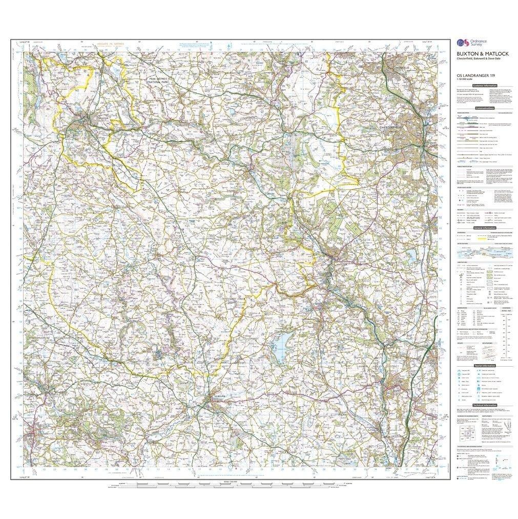
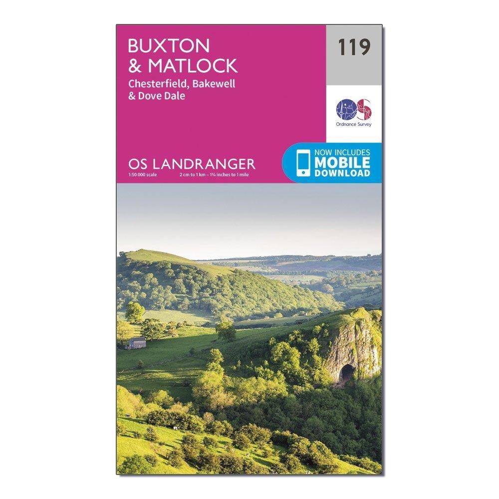
Landranger 119 Buxton, Matlock, Bakewell & Dove Dale Map With Digital Version
This map comes with a digital version which you can download to your smartphone or tablet.
Go to OS.uk/redeem for more details (terms and conditions apply).
Scratch off the panel on the inside cover of the map to reveal a code, you are then just three easy steps away from downloading your digital map.
If the scratch panel has already been scratched off or if you have any problems downloading your map, please call the OS Customer Service Centre on 03456 050505.
Features
- Peak District National Park
- Pennine Bridleway
- High Peak Trail
- Tissington Trail
- Staffordshire Moorlands Walks
- Staffordshire Way
- Manifold Way
- Limestone Way
- Monsal Trail
- Midshires Way
- Cuckoo Way
- Dane Valley Way
- Trans Pennine Trail
- Derwent Valley Heritage Way
- E2 (European Long Distance Route)
- Pennine Bridleway
- Derbyshire
- Staffordshire
- Ashbourne
- Buxton
- Cheadle
- Chesterfield
- Matlock
More Images
Landranger 119 Buxton, Matlock, Bakewell & Dove Dale Map With Digital Version
This map comes with a digital version which you can download to your smartphone or tablet.
Go to OS.uk/redeem for more details (terms and conditions apply).
Scratch off the panel on the inside cover of the map to reveal a code, you are then just three easy steps away from downloading your digital map.
If the scratch panel has already been scratched off or if you have any problems downloading your map, please call the OS Customer Service Centre on 03456 050505.
Features
- Peak District National Park
- Pennine Bridleway
- High Peak Trail
- Tissington Trail
- Staffordshire Moorlands Walks
- Staffordshire Way
- Manifold Way
- Limestone Way
- Monsal Trail
- Midshires Way
- Cuckoo Way
- Dane Valley Way
- Trans Pennine Trail
- Derwent Valley Heritage Way
- E2 (European Long Distance Route)
- Pennine Bridleway
- Derbyshire
- Staffordshire
- Ashbourne
- Buxton
- Cheadle
- Chesterfield
- Matlock
Product Information
Product Information
Shipping & Returns
Shipping & Returns
Description
This map comes with a digital version which you can download to your smartphone or tablet.
Go to OS.uk/redeem for more details (terms and conditions apply).
Scratch off the panel on the inside cover of the map to reveal a code, you are then just three easy steps away from downloading your digital map.
If the scratch panel has already been scratched off or if you have any problems downloading your map, please call the OS Customer Service Centre on 03456 050505.
Features
- Peak District National Park
- Pennine Bridleway
- High Peak Trail
- Tissington Trail
- Staffordshire Moorlands Walks
- Staffordshire Way
- Manifold Way
- Limestone Way
- Monsal Trail
- Midshires Way
- Cuckoo Way
- Dane Valley Way
- Trans Pennine Trail
- Derwent Valley Heritage Way
- E2 (European Long Distance Route)
- Pennine Bridleway
- Derbyshire
- Staffordshire
- Ashbourne
- Buxton
- Cheadle
- Chesterfield
- Matlock