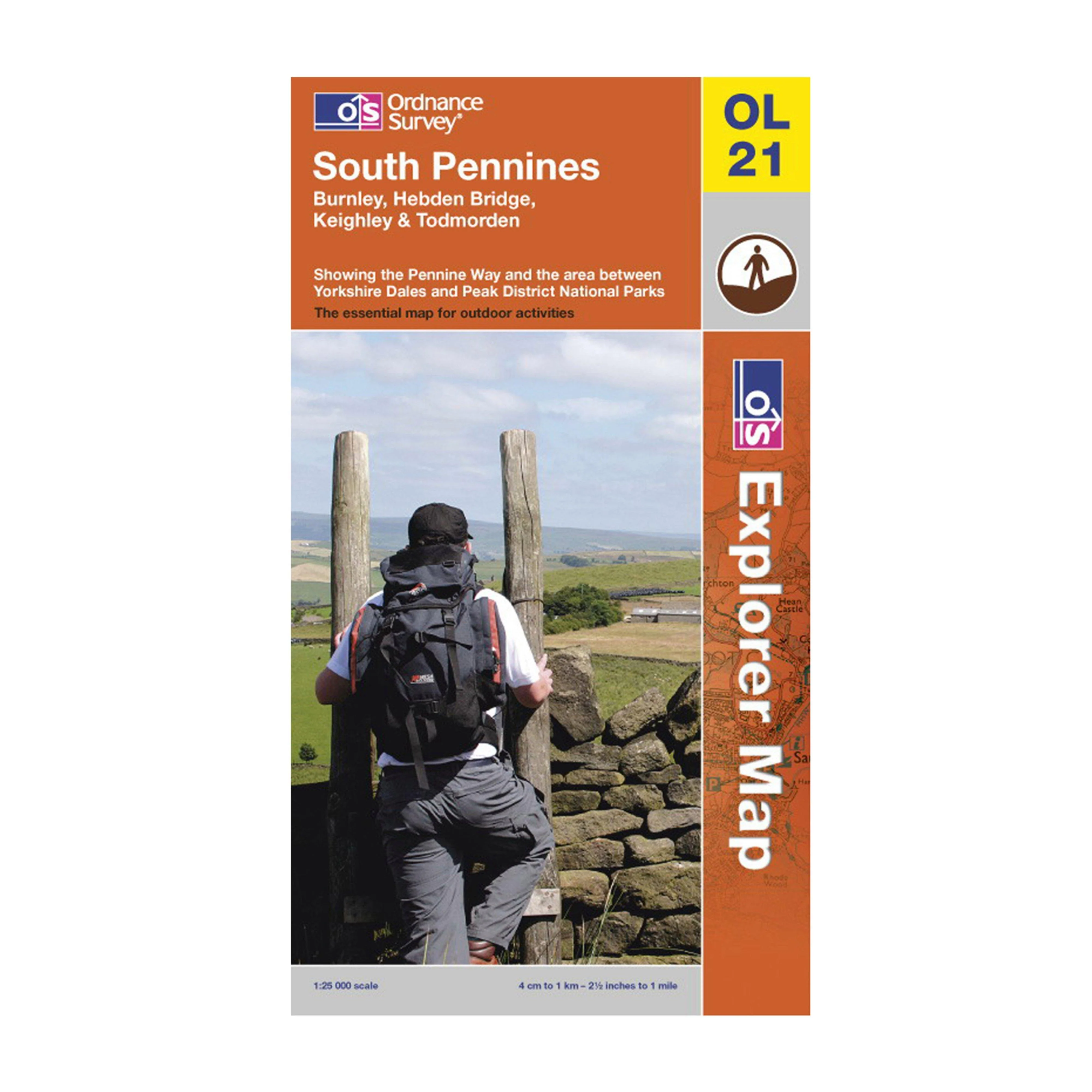
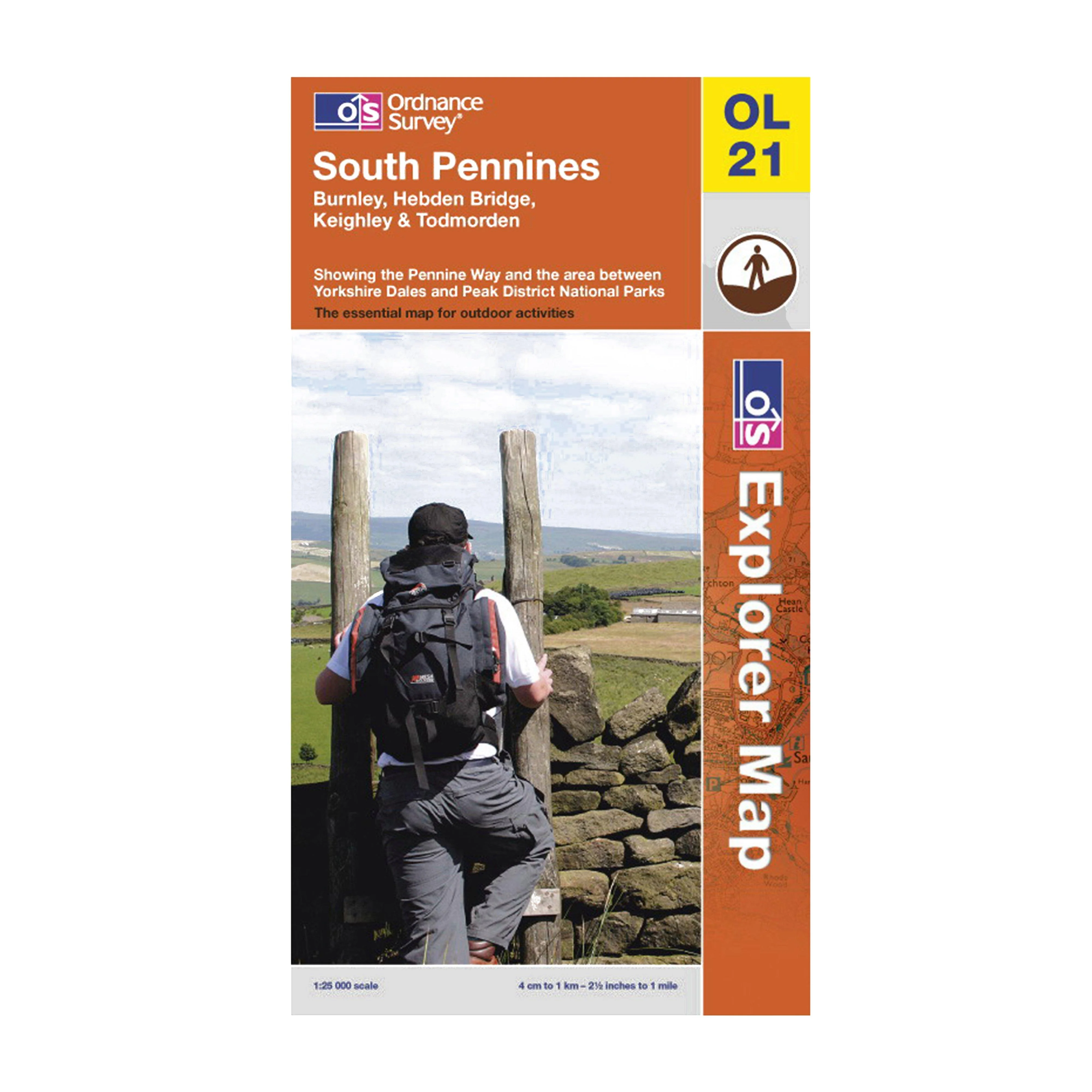
OS EXPLORER OL21
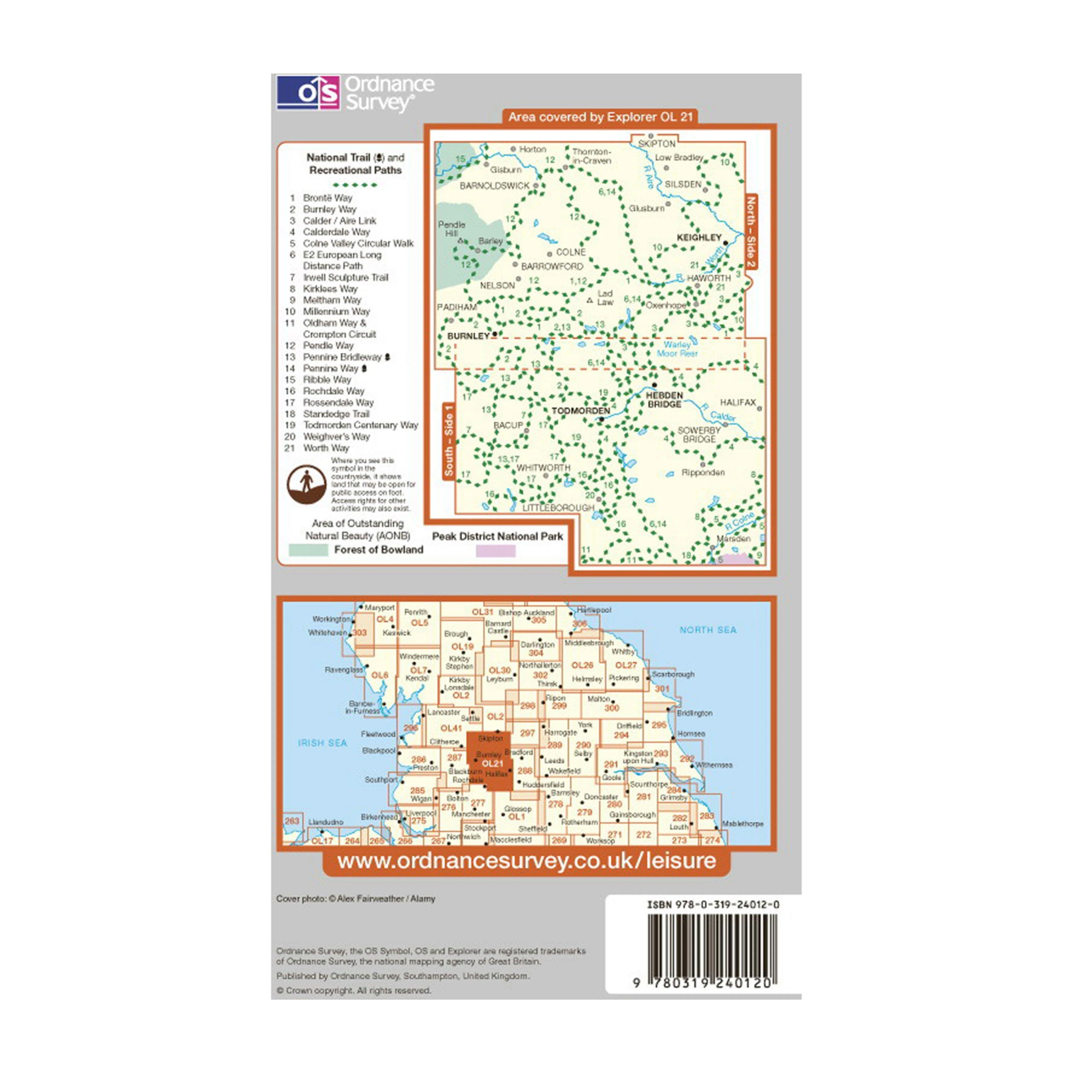
With the 1:25000 scale Ordnance Survey OS Explorer OL21 South Pennines Map you can be sure of locating all the very finest walks, routes, landscapes and places of interest throughout this stunning part of Yorkshire.
This comprehensive and highly detailed map gives you all the information you need for: Calderdale Way, Colne Valley Circular Walk, Pendle Way, Ribble Way, Rossendale Way, Irwell Sculpture Trail, Bronte Way, Worth Way (West Yorkshire), Kirklees, Oldham Way, Standedge Trail, Crompton Circuit, Burnley Way, Todmorden Centenary Way, Tame Valley Way, Rochdale Way, Weighver's Way, Millennium Way, Meltham Way, Calder/Aire Link, Railway Children Walk, Pennine Way (National Trail), E2 (European Long Distance Route) and the Pennine Bridleway (National Trail).
With its 4cm to 1km (2 1/2 inches to 1 mile) scale, the OS Explorer Map series has been adopted by many individuals and organisations involved in outdoor activities - from walkers to cyclists and from horse riders to climbers and water sports enthusiasts.
Every part of England, Scotland and Wales is covered by 403 maps that include National Trails, recreational paths, picnic areas, viewpoints and selected places of interests. In addition, there's Rights of Way information for England and Wales to ensure you remain legal while walking.
Original: $10.00
-70%$10.00
$3.00More Images
OS EXPLORER OL21
With the 1:25000 scale Ordnance Survey OS Explorer OL21 South Pennines Map you can be sure of locating all the very finest walks, routes, landscapes and places of interest throughout this stunning part of Yorkshire.
This comprehensive and highly detailed map gives you all the information you need for: Calderdale Way, Colne Valley Circular Walk, Pendle Way, Ribble Way, Rossendale Way, Irwell Sculpture Trail, Bronte Way, Worth Way (West Yorkshire), Kirklees, Oldham Way, Standedge Trail, Crompton Circuit, Burnley Way, Todmorden Centenary Way, Tame Valley Way, Rochdale Way, Weighver's Way, Millennium Way, Meltham Way, Calder/Aire Link, Railway Children Walk, Pennine Way (National Trail), E2 (European Long Distance Route) and the Pennine Bridleway (National Trail).
With its 4cm to 1km (2 1/2 inches to 1 mile) scale, the OS Explorer Map series has been adopted by many individuals and organisations involved in outdoor activities - from walkers to cyclists and from horse riders to climbers and water sports enthusiasts.
Every part of England, Scotland and Wales is covered by 403 maps that include National Trails, recreational paths, picnic areas, viewpoints and selected places of interests. In addition, there's Rights of Way information for England and Wales to ensure you remain legal while walking.
Product Information
Product Information
Shipping & Returns
Shipping & Returns
Description
With the 1:25000 scale Ordnance Survey OS Explorer OL21 South Pennines Map you can be sure of locating all the very finest walks, routes, landscapes and places of interest throughout this stunning part of Yorkshire.
This comprehensive and highly detailed map gives you all the information you need for: Calderdale Way, Colne Valley Circular Walk, Pendle Way, Ribble Way, Rossendale Way, Irwell Sculpture Trail, Bronte Way, Worth Way (West Yorkshire), Kirklees, Oldham Way, Standedge Trail, Crompton Circuit, Burnley Way, Todmorden Centenary Way, Tame Valley Way, Rochdale Way, Weighver's Way, Millennium Way, Meltham Way, Calder/Aire Link, Railway Children Walk, Pennine Way (National Trail), E2 (European Long Distance Route) and the Pennine Bridleway (National Trail).
With its 4cm to 1km (2 1/2 inches to 1 mile) scale, the OS Explorer Map series has been adopted by many individuals and organisations involved in outdoor activities - from walkers to cyclists and from horse riders to climbers and water sports enthusiasts.
Every part of England, Scotland and Wales is covered by 403 maps that include National Trails, recreational paths, picnic areas, viewpoints and selected places of interests. In addition, there's Rights of Way information for England and Wales to ensure you remain legal while walking.